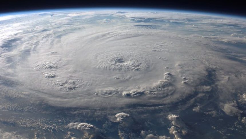

The Established Timeline of the Atlantic Hurricane Season (Image Credits: Pexels)
With just over a month remaining until the official start, residents along the U.S. East Coast, Gulf Coast, and Caribbean prepare for the 2026 Atlantic hurricane season. The period spans from June 1 through November 30, encompassing the time when most tropical cyclones form in the North Atlantic Ocean. Early predictions suggest below-normal activity this year, though experts stress vigilance remains essential.[1][2]
The Established Timeline of the Atlantic Hurricane Season
Forecasters have long defined the Atlantic hurricane season as running from June 1 to November 30. This six-month window captures about 97 percent of all tropical storms and hurricanes in the basin. The National Hurricane Center settled on these dates in 1965 after years of adjustments based on historical data and observing networks.
Activity typically ramps up after the June start, with the peak occurring from mid-August through late October. During these months, warmer sea surface temperatures and favorable atmospheric conditions fuel development. Storms can still form outside this period, but such events prove rare.
No tropical cyclones currently exist in the Atlantic basin. The National Hurricane Center will resume regular Tropical Weather Outlooks on May 15.[1]
Pre-Season Forecasts Signal a Quieter Year
Colorado State University issued its April forecast, anticipating somewhat below-normal activity for 2026. Researchers predict 13 named storms, compared to the 1991-2020 average of 14.4. They also expect six hurricanes and two major hurricanes, versus averages of 7.2 and 3.2, respectively.[2][3]
A transition from weak La Niña to moderate or strong El Niño conditions during peak months should increase wind shear, suppressing storm formation. Other metrics point lower too: 55 named storm days against 69.4 on average, and accumulated cyclone energy of 90 versus 123. Probabilities for major hurricane landfalls along the U.S. coast fall below historical norms, at 32 percent overall.[3]
- CSU: 13 named storms, 6 hurricanes, 2 major hurricanes
- Tropical Storm Risk (April): 12 named storms, 5 hurricanes, 1 major
- The Weather Channel: 12 named storms, 6 hurricanes, 2 major
- AccuWeather: 11-16 named storms, 4-7 hurricanes, 2-4 major
Forecasts vary, but consensus leans toward subdued action influenced by evolving ocean patterns.[4]
New Forecasting Innovations for Better Preparedness
The National Hurricane Center introduces enhanced track forecast cone graphics this season. For the first time, the cones incorporate tropical storm and hurricane watches and warnings for inland areas across the continental U.S., Hawaii, Puerto Rico, and the U.S. Virgin Islands. Diagonal shading highlights overlapping zones, aiding communities beyond the coast.[5]
An experimental cone uses ellipses to depict 90 percent of possible tracks, improving on the traditional 67 percent coverage by accounting for speed and direction errors. Storm surge products expand to Hawaii, providing probability-based inundation forecasts. These tools, refined from last year’s tests, aim to sharpen public response.
Essential Preparation Ahead of June 1
Even with tempered expectations, a single storm carries destructive potential. Coastal residents should assemble emergency kits with water, non-perishables, medications, and batteries now. Review evacuation routes and secure property against high winds and flooding.
Strengthen homes by trimming trees and installing shutters. Develop family communication plans, including out-of-area contacts. Monitor updates from the National Hurricane Center starting mid-May. Local agencies urge action in the coming weeks to build resilience.
Forecasts offer reassurance, yet history reminds that quiet seasons can surprise. As June 1 approaches, proactive steps ensure communities weather whatever develops.