

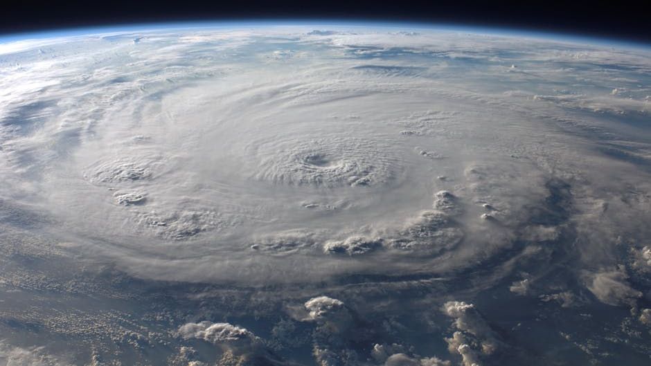
The Atlantic hurricane season runs from June 1st through November 30th. – Image for illustrative purposes only (Image credits: Pexels)
Forecasters anticipate a relatively quiet 2026 Atlantic hurricane season as conditions shift toward neutral or weak La Niña influences.[1][2] The official period spans June 1 to November 30, a timeframe chosen because it captures when tropical cyclones most commonly develop in the North Atlantic Ocean, Gulf of Mexico, and Caribbean Sea.[3][4] While activity occasionally spills beyond these boundaries, the dates provide a reliable guide for preparation efforts across vulnerable regions.
Why June 1 to November 30?
These boundaries emerged from decades of observation by agencies like NOAA, reflecting the climatological sweet spot for hurricane formation.[4] Warm sea surface temperatures, low wind shear, and unstable atmospheric conditions align during this stretch, fostering the development of tropical storms and hurricanes. The season’s structure dates back to conventions adopted to standardize tracking and warnings.
Storms have formed outside this window in the past, underscoring that vigilance remains essential year-round. For instance, pre-June activity has occurred in recent years, though rarely escalating to major threats early on.[5] NOAA emphasizes that the dates serve as a practical benchmark rather than an absolute barrier.
Peak Intensity Hits Mid-Season
Activity surges from mid-August through late October, with September 10 standing out as the statistical pinnacle.[4][3] This ramp-up corresponds to peak ocean warmth and optimal vertical wind profiles that allow storms to intensify. Roughly two-thirds of seasonal tropical cyclone energy concentrates in these months.
Historical data shows the Atlantic basin averaging around 12-14 named storms annually, though numbers fluctuate widely.[6] The core period demands heightened readiness, as stronger hurricanes often emerge then.
2026 Outlook Signals Restraint
Colorado State University researchers project somewhat below-normal activity for 2026, citing transitioning La Niña patterns that could enhance wind shear.[2][1] The Weather Company forecasts 12 named storms, with six reaching hurricane strength. AccuWeather aligns closely, predicting 11 to 16 named storms, four to seven hurricanes, and two to four major ones.[7]
- CSU: Below-normal overall, influenced by weak La Niña.
- Tropical Storm Risk: Close to 1991-2020 average.
- General consensus: Fewer intense systems than recent hyperactive years.[8]
Such predictions offer cautious optimism, but experts stress that even subdued seasons produce impactful storms.
Lessons from Decades of Data
Records dating to 1851 reveal the season’s variability, with outliers like hyperactive 2020 contrasting quieter years.[6] The National Hurricane Center maintains comprehensive logs, showing most landfalls cluster in the June-November frame. Early-season majors remain rare but notable, as seen in cases like 2005’s Dennis and Emily.[9]
NOAA’s climatology underscores that while 96% of activity falls within the official dates, outliers remind communities to stay proactive.
Readiness Beyond the Calendar
As June 1 approaches, coastal areas from Florida to the Northeast sharpen emergency plans. The basin’s reach affects millions, with potential disruptions from flooding to power outages. Forecasts like those for 2026 highlight probabilistic trends, not guarantees – one storm can alter any season’s narrative.[7]
Monitoring tools from the National Hurricane Center provide real-time updates, ensuring timely evacuations and responses. The structured season window ultimately empowers better forecasting and resilience.
In a year eyed for moderation, the Atlantic hurricane season still commands respect. From June 1 to November 30, preparation turns potential threats into managed risks, safeguarding lives and livelihoods.


