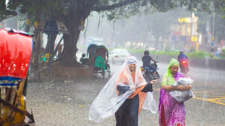


May 4th and it suddenly turned into monsoon . – Image for illustrative purposes only (Image credits: Unsplash)
Delhi-NCR – Dark clouds transformed daytime into night across parts of northern India on May 4, 2026, delivering heavy rains reminiscent of peak monsoon season.[1] Residents who endured morning heat in the high 30s to low 40s degrees Celsius faced slippery roads and slowed traffic as thunderstorms struck without warning.[1] Social media erupted with reactions, including a popular Reddit post from the Delhi subreddit capturing the shock: “May 4th and it suddenly turned into monsoon.”[2]
Lucknow’s Skies Turn Eerily Dark
The most striking scenes unfolded in Lucknow, where heavy grey clouds rolled in around 8:45 a.m., blanketing the city in an unnatural twilight.[1] An intense rain spell followed, complicating commutes and leaving streets waterlogged. Similar disruptions hit Delhi-NCR, where the abrupt weather shift from heatwave conditions caught daily life off balance.
This event stemmed from a western disturbance fueling thunderstorm activity across northwest and central India.[1] Gusty winds reaching 30-60 kmph accompanied the rains, with scattered thunderstorms reported from May 3 onward. The India Meteorological Department had warned of such conditions in Uttar Pradesh through May 7.
IMD Flags Above-Normal Rainfall for May
The rains aligned with the IMD’s forecast for above-normal precipitation across much of India this May, exceeding 110% of the long-period average.[1][3] Exceptions appeared in some eastern and northeastern pockets, but northern states bore the brunt of early activity. Light to moderate showers with thunder continued in Punjab, Haryana, Rajasthan, and Uttar Pradesh until May 7.
Southward, Bengaluru prepared for weekend thundershowers with winds up to 40 kmph, affecting urban and rural districts through May 7.[3] Delhi expected slightly cooler highs of 36-38°C on May 4, thanks to the clouds, while Mumbai stayed mostly clear. Hailstorm alerts targeted Jammu-Kashmir, Himachal Pradesh, and Uttarakhand as well.
- Uttar Pradesh: Intensifying thunderstorms May 4-7
- Karnataka: Light to moderate rain in multiple districts
- Delhi-NCR: Cloudier skies with possible light rain
- Northeast: Isolated heavy falls through May 3
Relief from Heat, But Challenges Persist
These pre-monsoon showers offered respite from recent heatwaves, cooling daytime temperatures and breaking the oppressive humidity buildup.[1] However, the sudden intensity led to traffic snarls and minor flooding in low-lying areas. Commuters in Lucknow and Delhi reported hazardous driving conditions amid the downpours.
Broader forecasts pointed to continued activity, including heavy rain in Tamil Nadu, Puducherry, and Kerala until May 4.[3] The IMD emphasized monitoring for gusty winds and lightning, urging caution during outdoor activities.
Toward a Robust Monsoon Season
India anticipates monsoon onset over the Andaman and Nicobar Islands around May 14-16, with above-normal rainfall projected for the full 2026 season.[3] Early signals like May 4’s storms suggest a vigorous start, potentially easing agricultural concerns after variable prior years. Northern regions now watch for sustained relief as summer peaks, balancing joy over cooler air with vigilance against flash disruptions. These episodes underscore the unpredictable rhythm of India’s transitional weather patterns.