

From Neutral to Niño: Decoding the Latest Forecast (Image Credits: Upload.wikimedia.org)
Southern California – The National Weather Service’s Climate Prediction Center issued its latest ENSO Diagnostic Discussion on April 9, 2026, highlighting a 61% chance that El Niño conditions will emerge between May and July.[1][2] This shift from current neutral conditions carries significant implications for the region’s weather patterns later this year. Residents and officials now monitor subsurface ocean temperatures and wind anomalies closely, as these factors could tip the scales toward a stronger event.
From Neutral to Niño: Decoding the Latest Forecast
ENSO-neutral conditions currently dominate the equatorial Pacific, with sea surface temperatures near average in key Niño regions. The Niño-3.4 index stood at -0.2°C in the most recent weekly update, while subsurface waters show increasing warmth across much of the ocean basin.[1] Westerly wind anomalies appeared over the western Pacific, a subtle sign of potential change.
Forecasters favor neutral conditions through April-June at 80% probability. However, models like the North American Multi-Model Ensemble point to El Niño taking hold soon after, with odds rising to 62% by June-August and holding steady into year-end.[2] Strength remains uncertain, though nearly equal chances exist for moderate, strong, or very strong El Niño during November 2026-January 2027 – about 25% apiece for the latter two categories.
| Season | El Niño Chance | Neutral Chance | La Niña Chance |
|---|---|---|---|
| Apr-Jun 2026 | ~15% | 80% | ~5% |
| May-Jul 2026 | 61% | ~35% | <5% |
| Jun-Aug 2026 | 62% | ~35% | <5% |
| NDJ 2026-27 | 75% (moderate/strong/very strong) | ~10% | <5% |
Super El Niño Potential Adds Uncertainty
Discussions of a “super El Niño” – defined by Niño-3.4 anomalies exceeding +2.0°C – have intensified, with some models suggesting a one-in-four chance of very strong conditions this winter.[1] Warm subsurface waters surpass levels seen before the 1997-98 event, fueling speculation of a historic peak. European models project temperatures potentially 2.5°C above average by October in some runs.[3]
Climate change may accelerate these swings, making rapid transitions from La Niña more common. Yet forecasters caution that westerly winds must persist through summer for peak strength, an outcome not guaranteed. Clarity should emerge by late May or June.
Southern California’s Weather Under the Spotlight
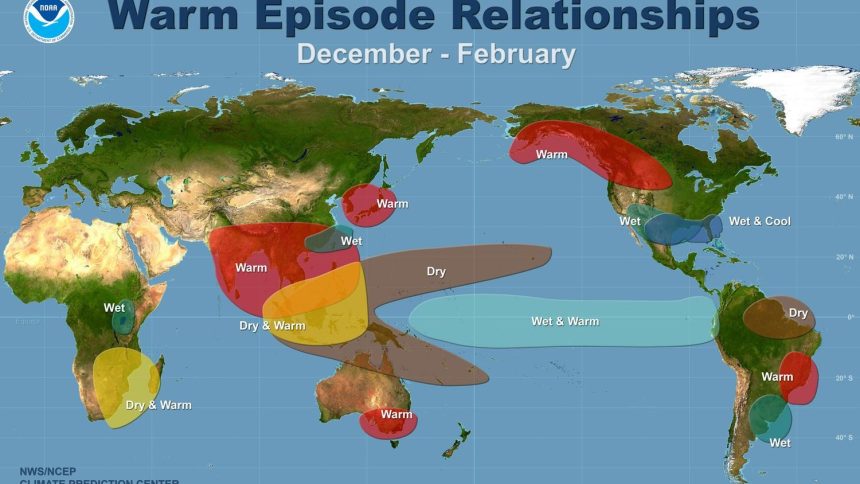
Strong El Niños historically tilt Southern California toward wetter winters, strengthening the subtropical jet stream to steer storms southward. This pattern could replenish reservoirs strained by recent dry spells and curb wildfire threats by greening landscapes early.[4][5] Rainfall might arrive sooner, potentially muting Santa Ana winds.
Summer brings another layer: developing El Niño often amplifies heat, exacerbating records already set this spring. Come winter, excess moisture raises flood, debris flow, and coastal erosion risks – echoing damages from past piers washed away and roads buried.[6]
- Increased winter precipitation odds, aiding water supplies.
- Reduced wildfire risk through mid-season.
- Higher potential for atmospheric rivers, flooding, and landslides.
- Hotter summers with possible heat waves.
- Marine ecosystem stress, including plankton shifts affecting sea life.
History’s Mixed Lessons Guide Preparations
Past super El Niños offer cautionary tales. The 1997-98 episode delivered floods that killed 17 in California and wrecked infrastructure, while 1982-83 tore sections from the Santa Monica Pier.[4] Conversely, the 2015-16 “Godzilla” El Niño yielded average-to-dry conditions in parts of the state, underscoring reliance on atmospheric rivers over ENSO alone.
These events remind that while El Niño boosts wet odds, outcomes vary. Southern California officials now bolster flood controls, clear debris basins, and monitor coastlines proactively.
As El Niño odds climb, Southern California stands at a weather crossroads – relief from drought versus vigilance against extremes. The coming months will reveal if this becomes a super event or moderates, but readiness remains key to navigating whatever patterns unfold.