


What To Expect as El Niño Approaches – Image for illustrative purposes only (Image credits: upload.wikimedia.org)
Scientists have indicated this week that a developing El Niño pattern is likely to intensify heatwaves, droughts and floods through the rest of the year. The natural cycle, driven by warmer surface waters in the central and eastern Pacific, tends to shift global weather systems in ways that favor more pronounced swings between wet and dry conditions. Even so, researchers continue to stress that this event is not the dominant force behind the most severe climate extremes now being recorded.
Plain-Language View of the Expected Changes
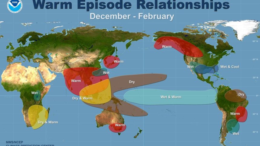
El Niño events occur when ocean temperatures rise above average for several months, altering wind patterns and moisture transport across large distances. In practical terms, this often means hotter and drier conditions across parts of Australia, Indonesia and the Amazon, while increasing rainfall and flood potential in the southern United States and parts of South America. Heatwaves in already warm regions can last longer because the altered circulation traps warm air in place for extended periods.
These shifts do not create new extremes from scratch. Instead, they tend to push existing weather patterns further in one direction or the other, depending on the location. Communities that already face water shortages may see those shortages deepen, while areas accustomed to heavy seasonal rains could experience more frequent overflow events. The overall result is a season that feels more volatile than average, though the precise timing and location of impacts remain difficult to forecast months in advance.
Why Broader Trends Still Matter More
Long-term warming from human-caused greenhouse gases continues to raise the baseline temperature of the planet. This steady increase means that even a moderate El Niño can produce outcomes that would have been rarer in earlier decades. In many regions, the background warming amplifies the effects of the natural cycle rather than the other way around.
Researchers have therefore described El Niño as an amplifier rather than the root cause of record-setting events. Droughts that might once have been moderate can become severe when they coincide with already elevated temperatures. Floods can become more damaging when sea levels are higher and soils are less able to absorb sudden downpours. The distinction helps explain why some years without a strong El Niño still produce extreme weather.
Practical Steps for the Months Ahead
Public agencies and local governments are already reviewing seasonal outlooks to adjust water-management plans and emergency-response protocols. Farmers in drought-prone zones may shift planting dates or crop choices, while coastal cities are checking drainage systems ahead of heavier rain periods. These adjustments are based on the understanding that El Niño adds a layer of risk rather than acting as a standalone driver.
Individuals can also take straightforward actions such as conserving water during dry spells and staying informed through official weather alerts. Because forecasts improve as the season progresses, regular updates from meteorological services remain the most reliable guide for day-to-day decisions.
What matters now is continued monitoring of ocean temperatures and atmospheric responses, combined with steady investment in long-term climate resilience measures that address the larger warming trend.
El Niño will influence weather patterns for the remainder of the year, yet its role is best understood as one contributing factor among several. The most effective responses will therefore combine short-term seasonal awareness with sustained efforts to reduce overall climate risk.


