
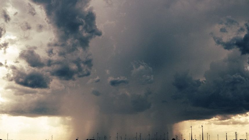

SEVERE STORMS AND FROST – Image for illustrative purposes only (Image credits: Unsplash)
Residents from Louisiana through southern Mississippi and into the Florida Panhandle are watching the skies closely as a line of active thunderstorms builds along the Gulf Coast. These storms carry the potential to interrupt travel, damage property, and create hazardous conditions for anyone outdoors. At the same time, forecasters note that severe weather is already unfolding across the southern Plains and is expected to shift into Texas by tomorrow, adding another layer of concern for a wide stretch of the South.
Why These Storms Matter Right Now
The timing of this weather pattern leaves little room for delay. People heading to work, running errands, or managing outdoor projects face sudden changes in conditions that could turn routine activities into safety challenges. Local emergency managers have already begun reviewing response plans, recognizing that even brief periods of intense rain and wind can lead to flooded roads and power outages in vulnerable neighborhoods.
Communities farther inland are also paying attention because the same atmospheric setup that fuels Gulf Coast storms often influences weather hundreds of miles away. This interconnected pattern means decisions made today about sheltering or travel could affect families across state lines by tomorrow morning.
Key Areas Watching the Skies
The primary focus remains on Louisiana, southern Mississippi, and the Florida Panhandle, where the strongest cells are expected to develop first. These locations share a history of quick-moving storms that can produce damaging winds and large hail within minutes of forming. Officials in each state have issued statements reminding residents to keep weather apps updated and to have a safe place identified in advance.
Meanwhile, the southern Plains region is already experiencing the leading edge of the system. That activity is forecast to slide eastward overnight, bringing similar risks to parts of Texas. Farmers and ranchers in those areas are adjusting schedules to protect livestock and equipment before the heavier rain arrives.
What Residents Should Watch For Next
- Heavy downpours that could turn streets into temporary rivers within an hour.
- Strong, gusty winds capable of snapping tree limbs and knocking out power lines.
- Isolated hail that may dent vehicles or damage roofs in the hardest-hit spots.
- Lightning that strikes quickly and without much warning, especially during evening hours.
- A gradual eastward shift of the main threat into Texas by tomorrow afternoon.
These elements together create a situation where preparation now can prevent larger problems later. Local news outlets and weather services continue to provide hourly updates so families can adjust plans in real time.
Looking Ahead After the Storms Pass
Once the active cells move through, the focus will shift to cleanup and recovery in the hardest-hit neighborhoods. Power crews are already on standby, and insurance adjusters expect an uptick in claims related to wind and water damage. For many residents, the next few days will involve checking on neighbors and making sure schools and businesses can reopen safely.
The broader pattern also serves as a reminder that spring weather in the South often arrives in waves rather than single events. Families who stay informed and flexible tend to navigate these periods with fewer disruptions, even when the forecast changes overnight.


