

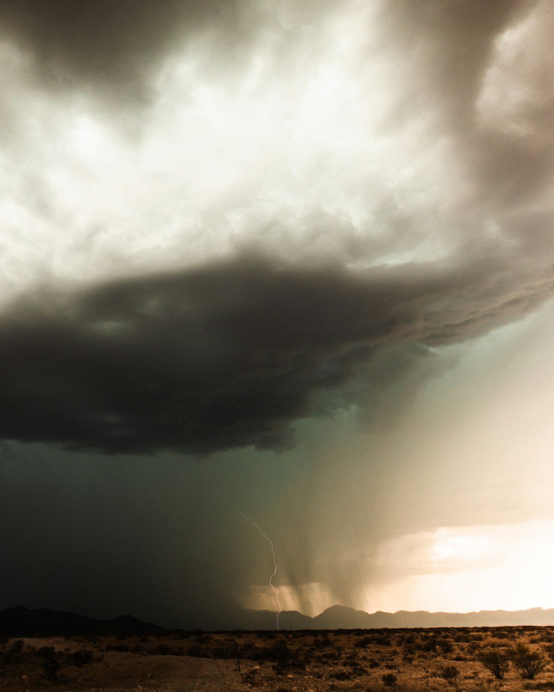
Showers Poised to Arrive Overnight (Image Credits: Unsplash)
Las Vegas – Residents enjoyed mild temperatures and scant rainfall through much of January and early February, but a shifting weather pattern promises showers and cooler air starting tonight.[1][2]
Showers Poised to Arrive Overnight
The National Weather Service forecasted a 20 percent chance of showers across the Las Vegas Valley late Tuesday into early Wednesday morning.[1] Higher terrain faces steeper odds, with a 60 percent likelihood of snow in the Spring Mountains, including several inches around Kyle and Lee canyons.
Forecasters described the system as relatively mild yet capable of dropping daytime highs into the upper 60s by midweek.[1] Andy Gorelow of the National Weather Service noted the storm’s limited strength but emphasized its cooling influence on the region.[1]
Breezy southwesterly winds will accompany the moisture, particularly across the Mojave Desert.
Active Advisories Highlight Potential Hazards
Several warnings accompanied the forecast to alert drivers and boaters.
- Lake Wind Advisory for Lake Mead and Lake Mohave through Tuesday evening, with southerly gusts up to 35 mph generating 1- to 3-foot waves.
- Wind Advisory for Nye and Esmeralda counties until Wednesday morning, featuring south winds of 15 to 25 mph and gusts reaching 50 mph, along with blowing dust and crosswinds on east-west roads.
- Winter Weather Advisory above 8,000 feet in the Eastern Sierra, expecting 3 to 8 inches of snow, with up to 12 inches at elevations over 9,500 feet.[1]
FOX5 meteorologists designated Wednesday a First Alert Weather Day, urging precautions for travel and outdoor items.[2]
Conditions should ease by Thursday, though isolated mountain showers linger.
Colder, Wetter Pattern Emerges Next Week
A follow-up disturbance approaches as early as Sunday, carrying a 20 percent valley rain chance and ushering below-average temperatures.[1] Gorelow indicated possible daily precipitation opportunities through the following week, though totals remain unclear.
Temperatures will dip notably, potentially falling short of mid-February norms in the low to mid-60s.
| Day | High Temp | Conditions |
|---|---|---|
| Wednesday | 67° | Scattered showers, gusty winds |
| Thursday | Mid-60s | Isolated showers |
| Friday | Upper 60s | Northerly gusts |
| Sunday | 65° | Breezy, next system |
Local outlets predict a more dynamic setup early next week, with widespread rain and stronger winds from Monday to Thursday.[3]
Context from a Parched January
Harry Reid International Airport tallied just 0.14 inches of rain last month, nearly half an inch below average and concentrated on New Year’s Day.[1] This followed a pattern reminiscent of 2025, when measurable rain eluded the valley until February 13, snapping a 214-day dry streak with 0.57 inches.
The incoming moisture ensures February avoids a similar drought label.
Key Takeaways
- 20% shower chance tonight ends dry spell; mountains see 60% snow odds.
- Highs cool to upper 60s Wednesday amid breezy conditions.
- Active weather returns next week with rain and chillier air.
Las Vegas transitions from balmy reprieve to typical winter variability, reminding locals of the desert’s unpredictable side. Secure plans for outdoor events and monitor updates from the National Weather Service. What are your thoughts on the forecast? Share in the comments.


