


Snow and Rain from Prior Systems Linger in Memory (Image Credits: Unsplash)
Las Vegas Valley – Residents prepared for another bout of unsettled weather as the third Pacific storm system barreled toward Southern Nevada on Thursday morning.
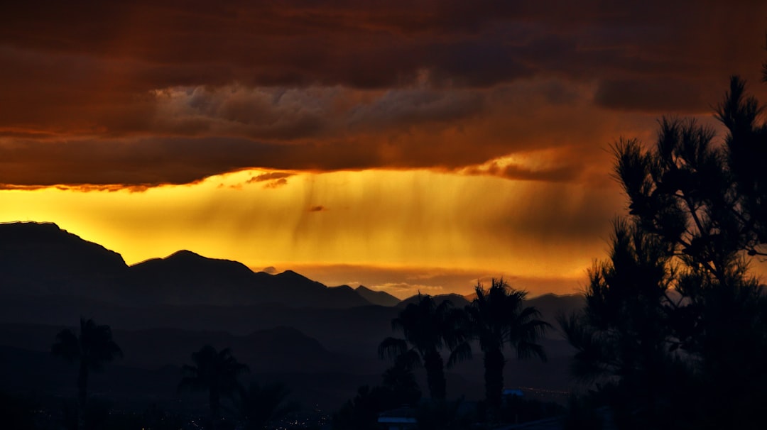
Snow and Rain from Prior Systems Linger in Memory
Two earlier storms had already transformed the typically arid region into a soggy landscape. The first system on Monday delivered the area’s initial measurable rain in five weeks, with Harry Reid International Airport logging 0.03 inches.[1]
The second storm intensified conditions on Wednesday, bringing 0.24 inches of rain to the airport and prompting snow flurries across parts of the valley.[1] Higher elevations saw heavier accumulations, while powerful winds battered Summerlin and Centennial Hills early Tuesday. February typically ranks as Las Vegas’ wettest month, averaging 0.8 inches, but this week’s activity pushed totals higher than expected.[1]
These back-to-back events marked a departure from the dry pattern, catching locals off guard amid the unusual parade of moisture-laden fronts.
Timing and Conditions for the Latest Front
The third Pacific Ocean storm moved in late Thursday morning, poised to linger through the evening, according to the National Weather Service. Julie Phillipson of the weather service noted the system’s arrival would bring a 60 percent chance of rain across the valley.[1]
Daytime highs struggled to reach the upper 40s, with overnight lows dipping into the mid-30s for a distinctly chilly feel. Neighborhoods faced another 0.1 to 0.2 inches of precipitation, while far western valley spots eyed possible snow flurries.[1] The system promised lighter but persistent showers compared to predecessors.
Gusty Winds and Mountain Snow Dominate Alerts
A wind advisory activated for Clark County at 4 p.m. Thursday, extending until 4 a.m. Friday, warned of southwest winds at 20 to 30 mph with gusts reaching 50 mph valley-wide and up to 55 mph in northwest and western sections.[1]
Mountains bore the brunt of heavier impacts. A winter storm warning covered the Spring Mountains above 8,000 feet, forecasting at least a foot of snow alongside 40 mph gusts. The Sheep Range north of Las Vegas fell under a winter weather advisory for several inches of snow and 30 mph winds.[1]
- Wind Advisory: Clark County, 4 p.m. Thu – 4 a.m. Fri (gusts to 55 mph).
- Winter Storm Warning: Spring Mountains above 8,000 ft (1+ ft snow).
- Winter Weather Advisory: Sheep Range (several inches snow).
- Winter Weather Advisory: Northeastern San Bernardino County above 4,000 ft (I-15 Mountain Pass area), 7 a.m. – 7 p.m.
Travel and Regional Ripples
Interstate 15 travelers encountered disruptions, as a winter weather advisory targeted northeastern San Bernardino County above 4,000 feet, including Mountain Pass; the route had closed briefly Wednesday due to snow.[1]
Red Rock Canyon and higher valley fringes braced for rain-snow mixes, with overnight lows plunging into the 30s. The forecast hinted at drier weekend conditions before potential windier patterns later.[2]
- Valley rain totals this week exceed recent norms, with more light showers expected Thursday.
- Mountain drivers should check road conditions amid heavy snow forecasts.
- Gusty winds pose risks to high profiles and outdoor plans through early Friday.
This series of Pacific storms underscored a volatile winter pattern for the desert Southwest, reminding residents to stay weather-aware. What impacts have you noticed from the rains? Share in the comments.


