
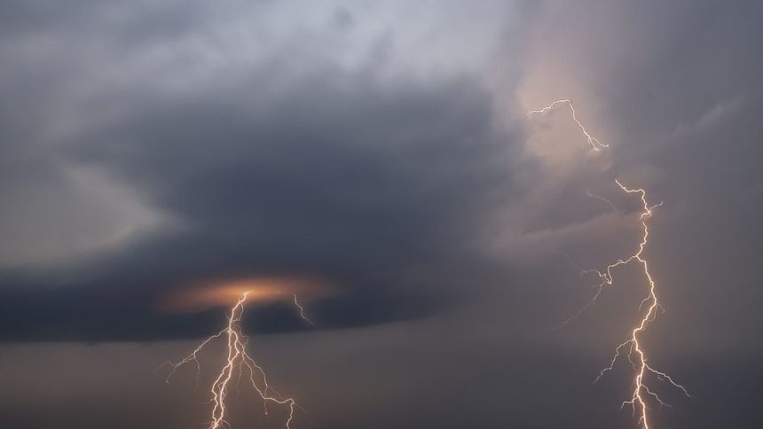

Severe storm reports surged during April and May will start off stormy for millions. – Image for illustrative purposes only (Image credits: Unsplash)
Central United States residents endured a barrage of severe storms throughout April 2026, shattering records for warnings and producing hundreds of tornadoes.[1][2] The month’s intense activity marked one of the most active starts to spring severe weather on record, with forecasters noting substantial threats persisting into May and beyond.[2] Millions remain in the crosshairs as patterns favorable for thunderstorms continue.
Warnings Reach Historic Levels
National Weather Service offices issued unprecedented numbers of severe thunderstorm and tornado warnings during April. In Iowa alone, forecasters released 213 such alerts, eclipsing the previous record of 173 set in 2001.[1] Chicago’s office tallied 128 warnings through April 19, another benchmark high.[2]
Wisconsin saw 31 tornado warnings in the first two weeks of the month. These figures reflected the relentless pace of storm development across the Plains, Midwest, and South.[3] Year-to-date, the nation surpassed 2,279 severe and tornado warnings by late April, trending above average.[4]
Major Outbreaks Fuel the Surge
Several multi-day events drove the elevated reports. An outbreak from April 13-14 generated 39 tornadoes and 785 hail reports, with hail up to 6 inches across 21 weather forecast offices.[5] Surveys later confirmed at least 80 tornadoes from a single late-April episode, including stronger ones rated EF3.[6]
April 17 brought significant tornadoes to the Upper Midwest, while April 27 produced widespread 70-80 mph winds and five EF1 tornadoes in central Illinois.[7][8] Illinois led the nation with over 300 storm reports, including 59 tornadoes, 130 wind damage instances, and 115 hail events.[9]
Key April Highlights:
Tornado Counts Soar Above Normal
The 2026 tornado season launched with deadly early outbreaks in Oklahoma and Michigan. By late April, activity concentrated in traditional corridors like the Plains and Midwest.[11] April’s 384 preliminary reports highlighted the month’s ferocity, far exceeding norms.[10]
Damage surveys confirmed multiple EF3 tornadoes, alongside hail up to 3.5 inches in some areas. The uptick aligned with volatile spring patterns, including stalled fronts and rich moisture.[12]
Season Far From Over
Meteorologists described the 2026 spring as off to a very active beginning, with escalation possible through May and June.[2] Patterns reminiscent of past busy years suggested sustained risks for severe thunderstorms, particularly in the central U.S.[13] As of early May, residents from Texas to the Great Lakes prepared for continued volatility.[14]
The Storm Prediction Center’s outlooks pointed to ongoing threats, underscoring that April’s surge represented just the opening act. Communities hammered by recent events braced for more, with no immediate lull in sight.


