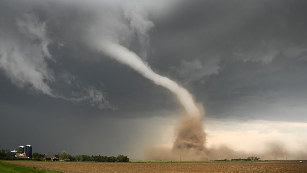

DAY 1 MODERATE SEVERE WEATHER RISK ACROSS PARTS OF CENTRAL/NORTHEAST KANSAS…SOUTHEAST NEBRASKA…AND FAR NORTHWEST MISSOURI…MULTIPLE STRONG TO INTENSE TORNADOES POSSIBLE…FORECAST SYNOPSIS…WIDEST DISSEMINATION REQUESTED…ISSUED MAY 18, 2026…12:25 P.M. EDT – Image for illustrative purposes only (Image credits: Unsplash)
Kansas and Nebraska – Forecasters highlighted a moderate risk of severe thunderstorms Monday afternoon across central and northeast Kansas, southeast Nebraska and far northwest Missouri. The outlook, issued by the Storm Prediction Center, pointed to supercells capable of producing very large hail and multiple strong to intense tornadoes. Conditions developed rapidly as daytime heating combined with steep lapse rates and increasing low-level shear.
Why the Risk Stood Out
The moderate designation reflected a focused corridor where instability and wind shear aligned most favorably. Very steep lapse rates aloft and a moist low-level air mass supported strong to extreme instability south of a cold front and east of the dryline. Most guidance pointed to robust thunderstorm initiation between 18 and 22Z, setting the stage for discrete supercells. Those initial storms carried the primary threat for giant hail measuring 2 to 4 inches or larger. As the southerly low-level jet strengthened through late afternoon and early evening, the environment shifted toward a higher tornado threat. The setup created a narrow window for strong to intense tornadoes across the outlined areas.
Atmospheric Ingredients in Play
Model guidance showed surface-based CAPE values reaching 3000 to 5000 J/kg within the moderate risk area. Mixed-layer CAPE ranged from 3000 to 4000 J/kg, while most-unstable CAPE extended to 5000 J/kg in spots. Storm-relative helicity in the 0-1 km layer measured 150 to 250 m2/s2, with effective-layer values in a similar range. Significant tornado parameter values climbed between 1.1 and 5.0, while supercell composite parameter readings reached 5 to 32. Mid-level lapse rates held near 8.0 to 8.5 C/km, and dew points ranged from 68 to 74 F. These parameters together supported the potential for particularly dangerous situations, including the possibility of an isolated PDS tornado watch.
Timing and Expected Evolution
The strongest storms and highest indices were expected from early afternoon through late evening. Extensive morning convection across western Illinois, Missouri and eastern Kansas gradually gave way to new development farther west. Outflow boundaries and residual cloud cover remained limiting factors, yet the overall environment favored discrete supercell formation. Damaging winds and large hail extended into surrounding enhanced and slight risk areas, though the greatest concentration of intense hazards stayed within the moderate outline. The Storm Prediction Center noted that any tornadoes could reach EF2 to EF3 intensity, with an isolated EF4 or EF5 possible under the most favorable conditions.
What Residents Should Watch
Local National Weather Service offices urged close monitoring of updates throughout the day. Residents in the affected counties were advised to have multiple ways to receive warnings, including NOAA weather radio. The agency emphasized that any tornado warning requires immediate movement to a sturdy shelter. The forecast center noted that severe weather updates would continue for slight risks and higher until the Atlantic hurricane season gains momentum. For now, the focus remained squarely on the central Plains threat and the need for timely, accurate information from official sources.