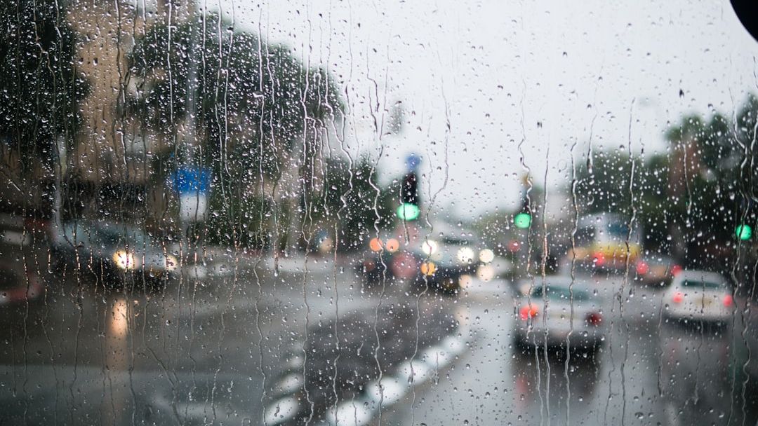

Warm, windy day for DC area with midweek rain – Image for illustrative purposes only (Image credits: Unsplash)
Washington, D.C. – Showers swept across the capital region on Wednesday, following a stretch of warm and breezy conditions. Meteorologists noted isolated storms amid the downpours, with winds picking up noticeably. Temperatures held in the lower 70s despite the unsettled weather.
Wednesday’s Shifting Skies
Rain dominated the morning hours in the D.C. area, prompting a weather alert from local forecasters. Breaks in the precipitation appeared by afternoon, offering brief respites and even glimpses of sun. Still, the system lingered, setting the stage for potential evening activity.
7News First Alert Meteorologist Eileen Whelan reported highs reaching the lower 70s. Winds from the southwest gusted between 25 and 30 mph, adding to the blustery feel. Most spots accumulated a tenth to a quarter inch of rain, enough to dampen roads but not cause widespread flooding.
Isolated thunderstorms posed the main concern later in the day. “Some of them may have some downpours, or some gusty winds and rumbles of thunder,” noted 7News First Alert Meteorologist Jordan Evans. No severe weather threatened the region.
Overnight into Thursday’s Cool-Down
Clouds persisted into Wednesday night, with scattered showers possible. Lows dipped into the 50s under north winds of 5 to 10 mph. The shift marked a departure from earlier warmth.
Thursday brought cooler air and mostly cloudy skies. Early showers remained a possibility before conditions improved. Highs topped out in the lower 60s, a noticeable drop from midweek peaks.
North winds continued at 5 to 10 mph, keeping the atmosphere stable. Forecasters expected gradual clearing by afternoon, easing the gloom.
Weekend Warmth Returns for Mother’s Day
Friday offered a rebound, with mostly sunny skies and highs near 70 degrees. West winds of 5 to 15 mph supported the warmer trend. Morning lows fell into the 40s, a crisp start to the day.
Saturday ushered in the Mother’s Day weekend with highs in the 70s. Morning clouds and a shower chance gave way to sunnier intervals later. The setup hinted at pleasant outdoor potential despite the variability.
Sunday promised even more heat, with highs climbing into the 80s. Sunny starts yielded to afternoon clouds and evening shower risks. Families planning celebrations eyed the forecast closely.
Key Forecast Highlights:
- Wednesday: Rain likely, highs 70-75, gusts to 30 mph
- Thursday: Cloudy and cooler, highs 60-65
- Friday: Mostly sunny, highs around 70
- Saturday: 70s with morning showers possible
- Sunday: 80s, evening showers likely
Residents prepared for the mix of wet midweek weather and improving weekend conditions. Local outlets like WTOP and 7News urged checking updates for traffic and any school delays.