
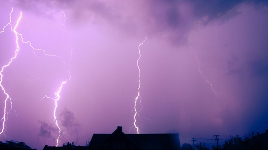

SPC Severe Thunderstorm Watch 185 – Image for illustrative purposes only (Image credits: Unsplash)
Texas Hill Country – Residents in parts of the Texas Hill Country braced for severe weather Wednesday morning after the National Weather Service Storm Prediction Center issued Severe Thunderstorm Watch Number 185. The watch took effect at 8:30 a.m. CDT and extended through 1 p.m. CDT, signaling favorable conditions for intense storms along a frontal boundary. Officials emphasized the risks of scattered large hail and damaging winds, urging those in the area to stay vigilant as thunderstorms pushed eastward.
Scope and Timeline of the Watch
The Storm Prediction Center in Norman, Oklahoma, broadcast the urgent watch at 8:30 a.m. CDT on May 6. It covered portions of the Texas Hill Country, where discrete storms had already shown signs of organization. Forecasters noted that activity would persist through the morning and midday hours before shifting east.
This watch aligned with a west-to-east oriented frontal zone that fueled storm development. The defined area stretched approximately along and 50 statute miles north and south of a line from about 60 miles west-southwest of Junction, Texas, to 30 miles northeast of Austin. Detailed outlines appeared in associated updates from the center.
Key Weather Hazards Identified
Forecasters highlighted scattered large hail as a primary concern, with isolated events potentially producing hail up to 2 inches in diameter. Damaging wind gusts reaching 70 mph also loomed as a widespread threat across the watch area. These conditions stemmed from robust updrafts within the storms.
Storms maintained strength near the frontal boundary, increasing the odds for severe outcomes. While tornadoes remained possible, the focus centered on hail and wind. Mean storm motion pointed at 280 degrees at 40 knots, directing hazards toward affected communities.
What matters now: Hail to 2 inches and winds to 70 mph could damage property, vehicles, and power lines. Aviation faces added risks with turbulence and hail aloft.
Areas at Risk and Movement Patterns
The watch encompassed terrain from near Junction westward to regions northeast of Austin. This corridor captured the path of storms evolving along the front. Communities in between prepared for intermittent severe activity rather than widespread chaos.
Storm tops reached up to 55,000 feet, underscoring their potency. Surface winds could spike to extreme levels, complicating travel and outdoor plans. The eastward progression meant threats would evolve quickly across the zone.
Guidance for Safety and Preparedness
Authorities advised those in the watch area to monitor updates closely and seek shelter if warnings followed. Severe thunderstorms occasionally spawned tornadoes, adding an extra layer of caution. Listening for local statements proved essential amid the favorable setup.
Residents recalled past events where similar watches led to impactful storms. Proactive measures, such as securing outdoor items and avoiding open areas, helped mitigate risks. The center stressed immediate action upon hearing thunder or seeing darkening skies.
Aviation Considerations Amid the Storms
Pilots received specific warnings about severe thunderstorms packing hail to 2 inches both at the surface and aloft. Extreme turbulence accompanied gusts up to 60 knots. Cumulonimbus clouds topped out near 55,000 feet, posing hazards to flights.
Storm motion at 280 degrees and 40 knots guided aviation planning. Delays or reroutes became likely in the region. Ground crews also faced challenges from sudden wind shifts and hail accumulation.
As the watch unfolded, the Texas Hill Country remained on edge for the next several hours. Forecasters continued tracking developments, ready to issue warnings for the most intense cells. Staying informed offered the best defense against the evolving severe weather pattern.


