
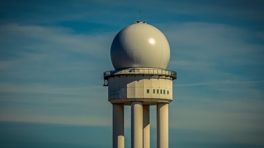
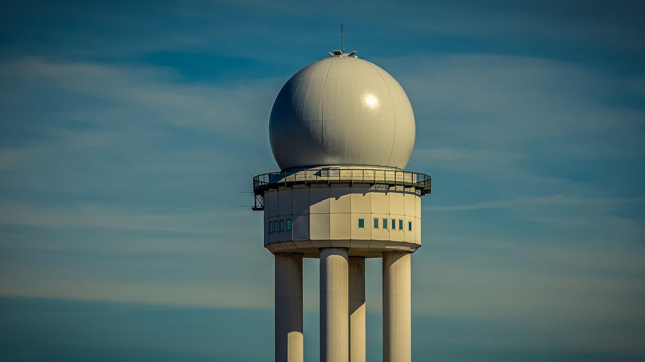
Central Alabama NWS radar down after hardware failure ahead of expected severe storms – Image for illustrative purposes only (Image credits: Pixabay)
Birmingham, Ala. – Technicians scrambled Wednesday morning after Central Alabama’s main National Weather Service radar suffered a sudden hardware failure, leaving meteorologists without their closest eye on the sky just as powerful storms approached.[1][2] The outage at the KBMX site in Calera heightened concerns in a region already bracing for severe weather later in the day.
Hardware Failure Hits Critical Radar Site
The WSR-88D Doppler radar, known as KBMX and located at Shelby County Airport near Exit 234 off Interstate 65, went offline due to the unspecified hardware issue.[2] National Weather Service teams immediately began diagnosing the problem, with replacement parts ordered on an expedited basis.
Officials provided no firm timeline for restoration, noting only that repairs remained underway.[3] This comes at a precarious moment, as the radar typically offers the most detailed, real-time views of precipitation and storm rotation for the Birmingham NWS office’s coverage area.
Severe Storms Poised to Test Monitoring Systems
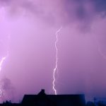
A level 2 to 3 risk out of 5 for severe thunderstorms blanketed much of Central Alabama, with threats materializing as early as the afternoon.[4] Forecasters highlighted potential for tornadoes, damaging wind gusts, hail the size of quarters, and heavy rainfall that could spark localized flooding.
A Flood Watch extended from late afternoon into Thursday morning, anticipating several inches of rain in vulnerable spots.[4] Communities from Birmingham and Tuscalouga southward to Demopolis, Eutaw, and Aliceville faced the highest odds of intense activity overnight. Temperatures climbed into the 80s under southwest winds, fueling instability.
The Birmingham office emphasized that storms could evolve rapidly, underscoring the radar’s usual role in pinpointing hazards like rotation signatures that signal tornado formation.
Layered Coverage Ensures Warnings Continue
Despite the setback, Central Alabama stayed within reach of overlapping radars from neighboring sites, including Huntsville (KHTX), Atlanta (KFFC), and Mobile (KMOB).[2] Department of Defense installations at Maxwell Air Force Base (KMXX), Columbus Air Force Base (KGVX), and Fort Rucker (KEOX) provided additional redundancy.
Satellite imagery, ground-based observations, and lightning networks filled critical gaps, allowing the NWS to maintain vigilance. “Central Alabama remains well-covered by multiple surrounding NWS radars… which will continue to provide meteorologists with sufficient data to monitor storms and issue timely warnings,” the service stated.[3]
“The National Weather Service in Birmingham will continue to closely monitor weather conditions and issue all necessary watches and warnings to protect life and property,” officials added in their morning update.[2] NOAA Weather Radio broadcasts in the region might face interruptions, prompting reliance on alternatives like Wireless Emergency Alerts and local media.
Residents Urged to Stay Prepared
The NWS advised residents to secure multiple alert channels and revisit shelter plans before evening peaks. “We strongly encourage the public to have multiple ways to receive warnings… review your severe weather safety plans ahead of today’s storms,” the agency urged.[3]
As repair efforts pressed on and clouds thickened, the episode served as a reminder of the intricate backups safeguarding storm-prone Alabama. Forecasters promised ongoing updates, determined to navigate the outage without compromising public safety.


