

Advisory Signals Shift in Weather Patterns (Image Credits: Unsplash)
Las Vegas Valley – Residents and visitors prepared for a bout of blustery weather as the National Weather Service issued a wind advisory for Southern Nevada.[1][2] The alert took effect at 11 a.m. PDT on Thursday, April 16, and remained in place until 5 a.m. PDT Friday, April 17. Stronger winds threatened to disrupt travel and outdoor plans across the region.
Advisory Signals Shift in Weather Patterns
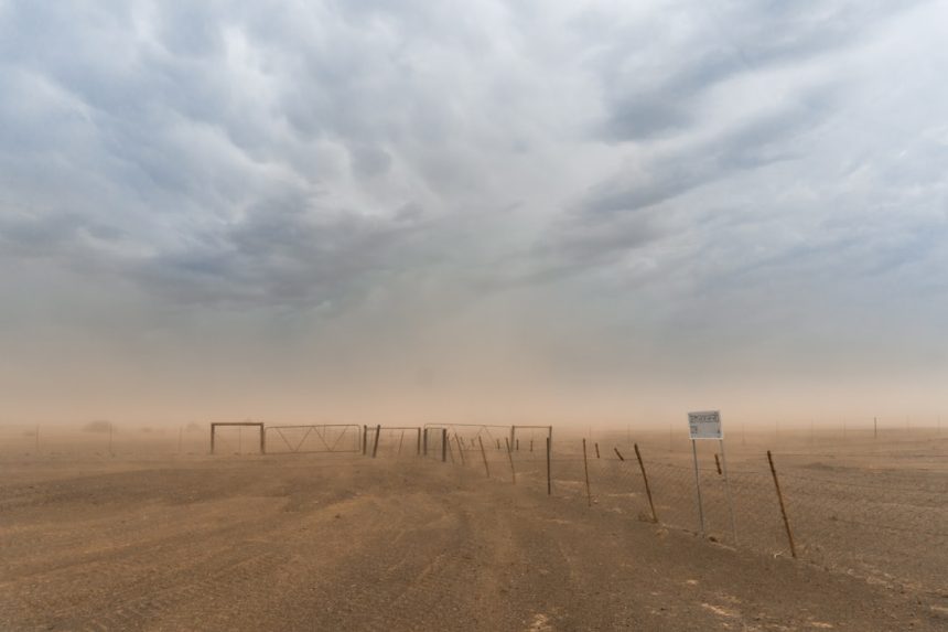
The National Weather Service in Las Vegas highlighted southwest winds picking up Thursday afternoon, reaching 15 to 25 mph with gusts up to 40 mph.[1] Conditions shifted overnight as a cold front approached, bringing north-northwest winds of similar speeds and gusts climbing to 45 mph into Friday morning.[2] This advisory covered the Las Vegas Valley and extended areas, including spots near Laughlin where gusts could hit 50 to 60 mph.
Forecasters noted the winds marked a return to gustier conditions after a relatively calm stretch. Current observations at North Las Vegas Airport showed mild south-southeast breezes at 11 mph early Thursday, with clear skies and temperatures around 68 degrees Fahrenheit.[2] Highs reached the low 80s during the day before cooling significantly overnight.
Day-by-Day Wind Forecast
Thursday brought mostly sunny skies, but south winds strengthened to southwest 15 to 25 mph by afternoon across the valley.[2] High temperatures hovered between 78 and 85 degrees, depending on the side of the valley. As evening progressed, west winds transitioned to north at 20 to 30 mph after midnight, with lows dropping to the upper 40s and low 50s.
Friday promised continued sunshine but remained windy, with north winds at 20 to 30 mph easing slightly later in the day and gusts up to 45 mph.[2] Daytime highs fell to 67 to 73 degrees, signaling a cooler close to the workweek. Conditions improved by Friday night, with lighter north winds and lows around 50 degrees.
Expected Disruptions from High Winds
Gusty conditions posed challenges for drivers, particularly those in high-profile vehicles like trucks and RVs. Reduced visibility from blowing dust represented another hazard in the desert environment. Outdoor enthusiasts faced risks from loose branches or unsecured objects becoming airborne.
Aviation operations at Las Vegas airports could experience delays or turbulence. Stronger gusts near the Colorado River areas amplified concerns for boating and recreation. Power providers monitored lines closely to prevent outages from fallen debris.
Essential Safety Measures
Officials urged caution during the advisory period. Secure loose items around homes and yards to prevent them from becoming projectiles. Avoid parking under trees or power lines where falling limbs posed threats.
- Drive defensively, especially on highways like I-15, and reduce speed in gusts.
- Check forecasts frequently via the National Weather Service Las Vegas office.
- Postpone outdoor activities if winds exceed safe limits.
- Protect sensitive plants and patio furniture from damage.
- Report downed power lines or hazards to authorities immediately.
Key Takeaways
- Wind advisory active 11 a.m. Thursday to 5 a.m. Friday.[2]
- Gusts up to 45 mph expected, strongest Thursday night into Friday.
- Cooler temperatures follow, with highs in the 70s Friday.
While the winds subsided by Friday morning, they served as a reminder of Southern Nevada’s variable spring weather. The episode underscored the importance of staying informed amid shifting patterns. What precautions will you take during gusty conditions? Share your thoughts in the comments.


