
Some more videos of today’s tornado in Las Flores, Buenos Aires. Initially, it was a multi-vortex “wedge” tornado . It left severe damage and there are at least 4 injured. 2 – Image for illustrative purposes only (Image credits: Unsplash)
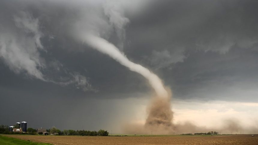
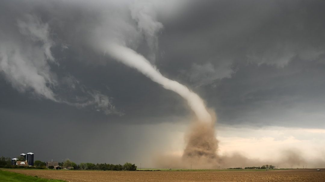
Las Flores, Buenos Aires – A tornado touched down in the area today, beginning as a multi-vortex wedge formation that carved a destructive path through the community. Witnesses described the storm as unusually wide and intense from the outset. The event produced severe damage to buildings and infrastructure while leaving at least four people injured.
Formation and Path of the Storm
The tornado developed rapidly and displayed the classic characteristics of a wedge shape supported by multiple smaller vortices rotating around the main funnel. This structure often signals greater strength and a wider damage footprint. Local observers noted the storm’s quick evolution from initial touchdown to full intensity within minutes. The path cut across residential and commercial zones, scattering debris and disrupting normal activity throughout the afternoon.
Damage and Reported Injuries
Early assessments confirm widespread destruction, with homes, vehicles, and power lines affected across multiple blocks. The multi-vortex nature of the tornado appears to have contributed to the scattered pattern of impacts rather than a single narrow track. Medical teams responded promptly to treat the injured, though details on the extent of their conditions remain limited at this stage. No fatalities have been reported so far.
Immediate Response and Assessment
Emergency crews and local authorities moved quickly to secure affected areas and begin clearing debris. Power outages remain widespread, complicating recovery efforts in the hours after the storm passed. Officials continue to survey the full scope of the damage while urging residents to avoid damaged structures until inspections are complete.
What matters now: Recovery teams focus on restoring essential services and confirming the safety of all residents in the impacted zones.
The event underscores the sudden risks posed by severe weather in the region, even on days when forecasts do not highlight tornado potential. Continued monitoring will determine whether additional support is required in the days ahead.