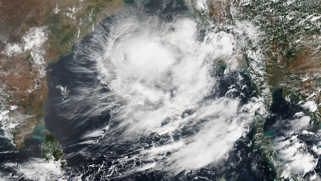

Low Pressure system likely to form over BoB by May 10 – Image for illustrative purposes only (Image credits: Flickr)
Residents across Odisha are stocking up on essentials and monitoring skies closely, with weather models signaling a low-pressure system that could disrupt daily life by May 10. The southeastern Bay of Bengal emerges as the hotspot for this development, potentially bringing heavier rains and stronger winds to the state’s coastal districts. While details remain fluid, the prospect has heightened vigilance amid ongoing pre-monsoon showers.
Immediate Warnings Grip the State
The India Meteorological Department issued yellow alerts for several districts, urging caution through May 12. Light to moderate rain, thunderstorms, lightning strikes, hail, and gusty winds up to 60 km/h threaten areas like Balasore, Bhadrak, Jajpur, and Dhenkanal. These conditions stem from a trough line fueling current pre-monsoon activity.
Local authorities emphasized rapid changes in weather patterns. Farmers in vulnerable zones have paused fieldwork, while fishing communities secure boats against sudden squalls. The alerts cover the full week, keeping communities on edge.
Models Point to Southeast Bay Origins
Both the GFS and ECMWF models converge on a likely formation near the coasts of Sri Lanka and Tamil Nadu by May 10. This low-pressure area would mark an early seasonal stir in the Bay of Bengal, southeast quadrant specifically. Forecasters noted the system’s budding signs in recent simulations.
Yet intensity and path stay elusive factors. The trough line battering Odisha now should fade by May 11, sharpening focus on the incoming system’s trajectory. Clearer impacts on the state could surface soon after.
Uncertainties Shape the Outlook
No official IMD bulletin pins down the low-pressure area’s strength or exact route yet. Development hinges on atmospheric conditions over the next days, with potential for escalation or dissipation. Odisha’s exposure grows if the system drifts northward.
Historical parallels remind of variable outcomes in the region. Past systems have veered away harmlessly or intensified into broader threats. Officials track every update to refine guidance.
- Balasore: Gusty winds and thunderstorms
- Bhadrak: Risk of hail and lightning
- Jajpur: Moderate rain expected
- Dhenkanal: Possible 40-60 km/h winds
Steps for Safe Preparation
Residents received clear directives to stay informed via IMD channels. Secure outdoor items, avoid travel during storms, and prepare for power flickers from heavy downpours. Schools and markets in alert zones adjusted schedules accordingly.
Fisherfolk got specific advisories against venturing far offshore. The emphasis falls on community readiness, as small shifts in the system’s path could alter risks dramatically. Updates promise to evolve with model refinements.
As the Bay of Bengal simmers, Odisha households weigh the wait for more precise forecasts against proactive measures. The blend of current rains and looming pressure underscores the season’s unpredictability, leaving coastal lives in a familiar rhythm of watchful adaptation.