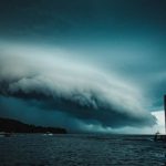

The Unexpected Sight on a Stormy Night (Image Credits: Unsplash)
Ohio — A truck driver en route through the state encountered a striking red glow in the distance as he approached a thunderstorm, prompting speculation about one of nature’s rarest atmospheric displays.[1][2] The sighting, shared on social media, highlighted the fleeting wonders that sometimes accompany powerful storms. Though the accompanying image suffered from low quality, the driver’s account fueled online curiosity about red sprites.
The Unexpected Sight on a Stormy Night
The driver described nearing the storm when the red illumination caught his eye far off. He immediately suspected red sprites, given their reputation for rarity. Such phenomena demand specific conditions, making casual observations all the more noteworthy.
Posted to a weather-focused forum, the report drew quick attention from enthusiasts. Commenters debated the possibilities, weighing the photo’s limitations against the driver’s firsthand view. This incident underscored how everyday travelers occasionally glimpse events typically reserved for specialized observers.
Decoding Red Sprites
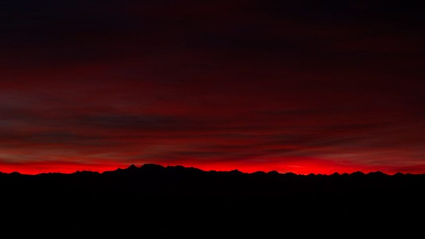
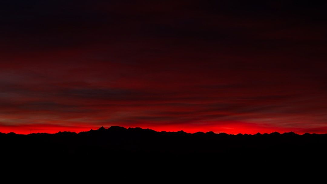
Red sprites rank among transient luminous events, or TLEs, that flare high above thunderstorms in the mesosphere.[3]) These discharges, often reddish-orange, span 30 to 60 miles in altitude and last mere milliseconds. They typically follow intense positive lightning strikes from cloud to ground.
Unlike familiar bolts, sprites extend upward in jellyfish-like or carrot-shaped forms. Pilots and storm chasers capture most documented instances, as ground-level views prove challenging due to bright lower clouds and brevity.[4][5] The driver’s position, driving toward the storm, might have aligned perfectly for such a rare glimpse.
- Occur 30-60 miles above Earth, near space’s edge.
- Triggered by powerful thunderstorms.
- Appear red due to excited nitrogen molecules.
- Rarely visible to the naked eye from ground.
Severe Storms Raging Across Ohio
Ohio experienced multiple severe weather episodes this spring, creating ideal backdrops for upper-atmospheric activity. Thunderstorms on April 14 brought damaging winds up to 80 mph and tornado warnings to central regions.[6] The state logged at least 10 tornadoes by early April, far exceeding typical early-season tallies.[7]
Clusters of intense storms moved through areas like Mercer and Licking counties, fostering conditions ripe for sprites.[8] Truckers and other motorists faced hazardous roads amid high winds and heavy rain, amplifying the drama of any unusual sky events.
Challenges in Confirming the Phenomenon
Verification remains tricky without high-resolution imagery or multiple witnesses. Sprites evade easy detection from the surface, often mistaken for distant lightning or aircraft lights. The driver’s skepticism mirrored common reactions to such reports.
Experts note that while sprites occur globally over strong storms, documented U.S. ground sightings stay scarce. This Ohio case, though unconfirmed, adds to the growing catalog of amateur contributions via social platforms. For more on sprites, see detailed explanations at the Wikipedia entry.[3])
The full Reddit discussion appears here.[1] As storm season intensifies, drivers should prioritize safety while staying alert to the skies’ hidden spectacles.