
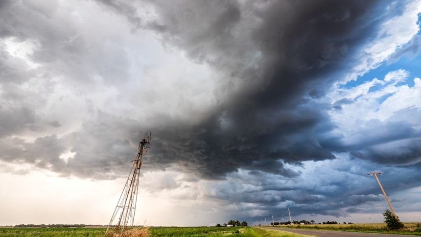
DAY 1 SLIGHT SEVERE WEATHER RISK ACROSS MUCH OF OKLAHOMA…FORECAST SYNOPSIS…ISSUED MAY 08, 2026…11:45 A.M. EDT – Image for illustrative purposes only (Image credits: Unsplash)
Oklahoma – A slight risk of severe thunderstorms covers much of the state through Friday night, according to the latest outlook from the Storm Prediction Center. Scattered storms are expected to develop along a frontal boundary and move southeastward, bringing the main threats of large hail and damaging winds. A lower but still notable chance exists for isolated tornadoes, though any that form are likely to stay weak.
Storm Timing and Coverage
Thunderstorms are already developing in parts of the region and should reach peak intensity from mid-afternoon into early evening. The primary area of concern stretches from southeast Kansas across central and eastern Oklahoma into north Texas. Farther south and east, activity becomes more isolated but could still produce brief periods of strong winds or hail. By late evening the storms are forecast to organize into linear segments that push into the ArkLaTex region. Overnight the overall severe threat decreases, yet occasional damaging gusts remain possible into the early morning hours.
Atmospheric Setup Driving the Risk
Moderate instability is in place, with surface-based CAPE values expected between 1,500 and 2,000 J/kg and mixed-layer CAPE ranging from 750 to 1,500 J/kg. Steep mid-level lapse rates and dew points in the upper 50s to low 60s will support robust updrafts. Deep-layer shear of 40 to 50 knots favors supercell structures early in the event before storms merge into bowing lines. Storm-relative helicity in the lowest three kilometers sits between 100 and 125 m²/s², enough to support rotating storms. The significant tornado parameter remains modest at 0.3 to 0.7, consistent with the low-end tornado probabilities outlined by forecasters.
Primary Hazards and Probabilities
Large hail is the most likely severe hazard, with a 5 to 10 percent chance of stones at least one inch in diameter and a hatched area indicating potential for even larger hail in spots. Damaging winds follow closely behind, especially once storms consolidate into linear segments. Tornado odds are lower, around 2 percent, and any twisters that develop should remain brief and weak. The following conditions summarize the key parameters across the outlined risk area: – SBCAPE: 1,500–2,000 J/kg
– 0–6 km shear: 40–50 knots
– Supercell composite parameter: 1–5
– Lifted index: –5 to –7 These values point to an environment capable of producing organized severe weather, though widespread significant events are not anticipated.
What Residents Should Watch For
Local National Weather Service offices will issue updates throughout the day, including any mesoscale discussions or convective watches. Residents are encouraged to monitor radar trends and have a way to receive warnings, especially during the afternoon and evening hours when the strongest storms are most likely. The Storm Prediction Center will release its next Day 1 outlook at 12:30 p.m. EDT, and any changes to the risk area or probabilities will be reflected there. Officials continue to stress that decisions about travel or outdoor plans should follow guidance from the National Weather Service and local emergency management.


