

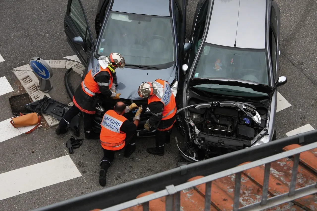
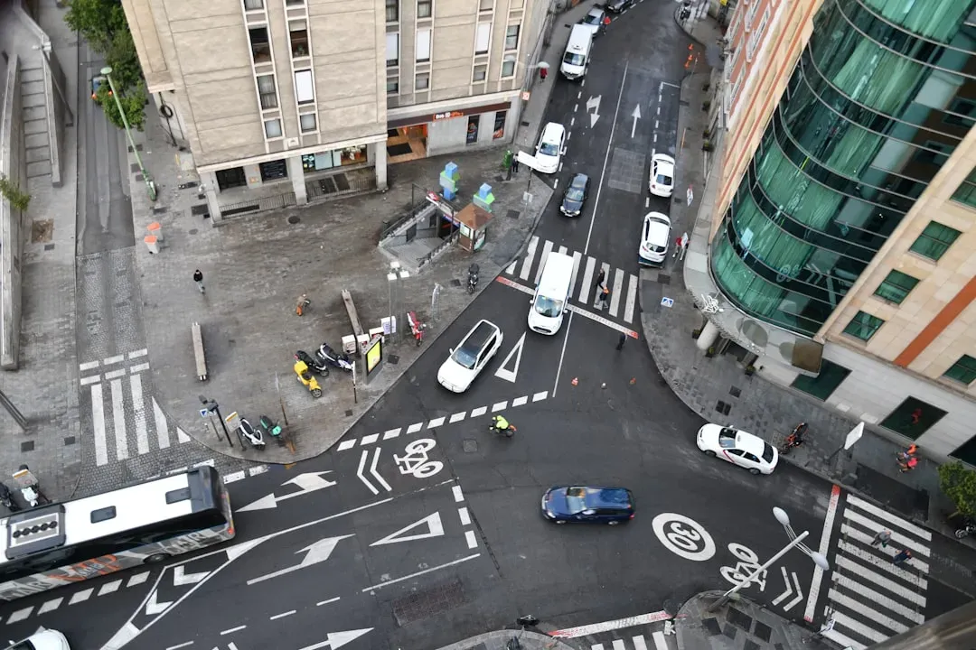
Las Vegas draws tens of millions of visitors every year. The energy never stops, the streets stay full around the clock, and the lights make it look safe. The reality for anyone walking across a busy intersection, though, is far more complicated.
Nevada’s roads have quietly become some of the most dangerous in the entire country for pedestrians. The numbers behind that claim are hard to look away from, and they reflect a problem built into the very DNA of how this city was designed and how its drivers behave.
Nevada’s Pedestrian Death Rate Ranks Among the Nation’s Worst
Nevada recorded more than 3 fatalities per 100,000 population in 2024, significantly above the national rate of 2.10, placing it among a small group of states with the most dangerous roads for pedestrians. That figure puts Nevada in unsettling company alongside states where road infrastructure is historically hostile to people on foot.
UNLV’s Road Equity Alliance Project confirmed that 2024 saw the highest number of pedestrian fatalities ever recorded in Nevada. The majority of those deaths happened in Clark County, where high traffic volumes and fast-moving vehicles put walkers at constant risk.
Clark County at the Center of the Crisis
Pedestrian deaths in Nevada rose by nearly 5 percent from 2023 to 2024, but Clark County drove much of that increase – pedestrian deaths there climbed by 14 percent, reaching 95 deaths in 2024, up from 83 the year prior. That spike alarmed safety researchers who had watched numbers rise steadily for years.
NDOT analysis shows nearly 9 out of 10 fatal crashes in Nevada occur in urban zones, with Las Vegas at the center of that risk. Pedestrian exposure, dense intersections, and failure-to-yield violations dominate city fatalities. The good news, cautiously stated, is that 2025 showed some improvement. Pedestrian deaths in Southern Nevada fell to 83 in 2025, down from 97 the year prior.
Charleston Boulevard and Rainbow Boulevard: A Persistent Hotspot

Charleston Boulevard and Rainbow Boulevard remained the most dangerous intersection in Las Vegas, with pedestrians and motorcyclists facing the greatest fatality risk. It’s a stretch of road where multiple neighborhoods, commercial strips, and heavy through-traffic converge into a reliably dangerous situation.
This intersection is notorious for high-speed collisions and traffic congestion, mainly due to the high volume of people traveling through. The mix of storefronts, residential neighborhoods, and heavy pedestrian foot traffic creates slow-moving conditions that test the patience of even experienced drivers. That impatience, combined with wide travel lanes, creates an environment that consistently punishes pedestrians.
Flamingo Road and Maryland Parkway: Speed Through a Dense Corridor
author: Adam Kliczek, http://memoriesstay.com (CC-BY-SA-3.0)
If you use my image on your website, please send me an email with webpage adress.
Contact me at: adam.kliczekgmail.com
pl
en
+/−
pl
en
+/−, CC BY-SA 3.0)
Flamingo Road stands out as a prime example of the problem, with fatal crashes in 2023 closing the road for a cumulative two days. The road runs through one of the most densely trafficked residential and commercial zones in the valley, yet its design encourages speeds that leave almost no margin for error when a pedestrian steps out.
Poor lighting at intersections, narrowed lanes in construction zones, and high-speed corridors like Sahara Avenue create hazards that increase both accident frequency and injury severity, especially for pedestrians and out-of-state drivers unfamiliar with dangerous roads in the Las Vegas area. Flamingo checks several of those boxes at once, and it has for years.
Tropicana Avenue and Decatur Boulevard: Daily Danger
Tropicana Avenue and Decatur Boulevard are notorious accident hotspots, with at least one traffic accident occurring there on most days. Both roads carry heavy volumes of commuter and tourist traffic, and the intersection forces pedestrians to navigate multiple turning lanes and wide crossing distances.
According to LVMPD data, driver inattention was identified as a major contributing factor in 69 cases of fatal accidents, along with improper turns in another 69 instances. At a complex, multi-lane intersection like this one, even a brief lapse in attention can have fatal consequences for someone trying to cross on foot.
Boulder Highway: A Corridor With a Long Record of Harm
Boulder Highway has long drawn attention from safety advocates as one of the most dangerous stretches of road for pedestrians in the Las Vegas Valley. A particularly devastating incident on Boulder Highway in April 2024 illustrated the severity of the issue, when a suspected drunk driver struck a family of five near a bus stop, killing a father and his teenage son while injuring three others.
At nighttime, Las Vegas roads further from the crowds often have lighter traffic, and drivers sometimes respond to the quieter conditions by going well above the speed limit. Without traffic congestion to slow things down, a pedestrian hit at higher speeds faces significantly worse injuries. Boulder Highway, which runs through stretches with limited lighting and few protected crossings, captures all of those risk factors in one place.
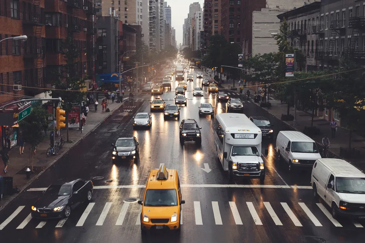
The Strip: High Foot Traffic, Unique Risk Factors
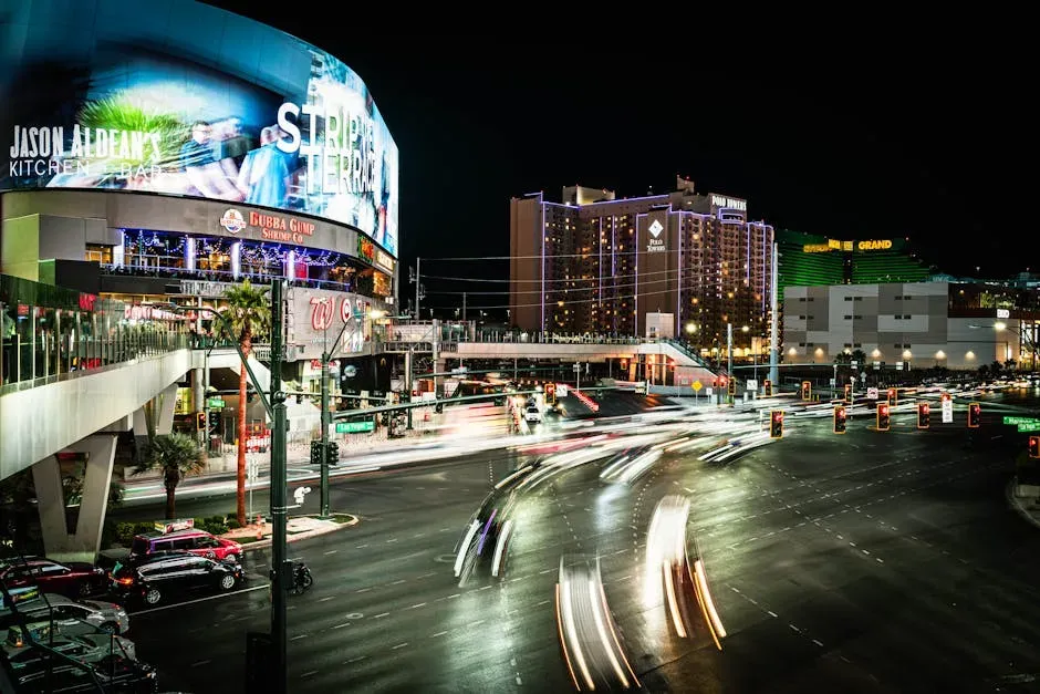
Las Vegas Boulevard, widely known as the Strip, presents a different kind of danger. Slower vehicle speeds and heavier enforcement are offset by sheer pedestrian volume, impaired visitors on foot, and distracted drivers navigating unfamiliar territory. Tourists looking at their GPS, talking on the phone, or searching for their hotel are paying less attention to the road, increasing the likelihood of an accident.
While neon signs and glowing billboards seem to light up the city, their visual noise means important hazards – like an unlit person in a crosswalk – can blend in and become nearly invisible. Drivers in entertainment zones are more prone to missing people walking along the side of the road or waiting to cross. The Strip is not the deadliest corridor in the city, but its unique environment creates its own particular brand of pedestrian risk.
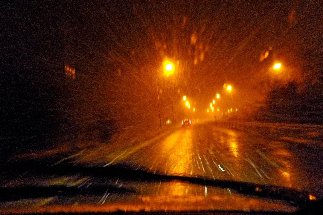
Darkness Is a Consistent Killer
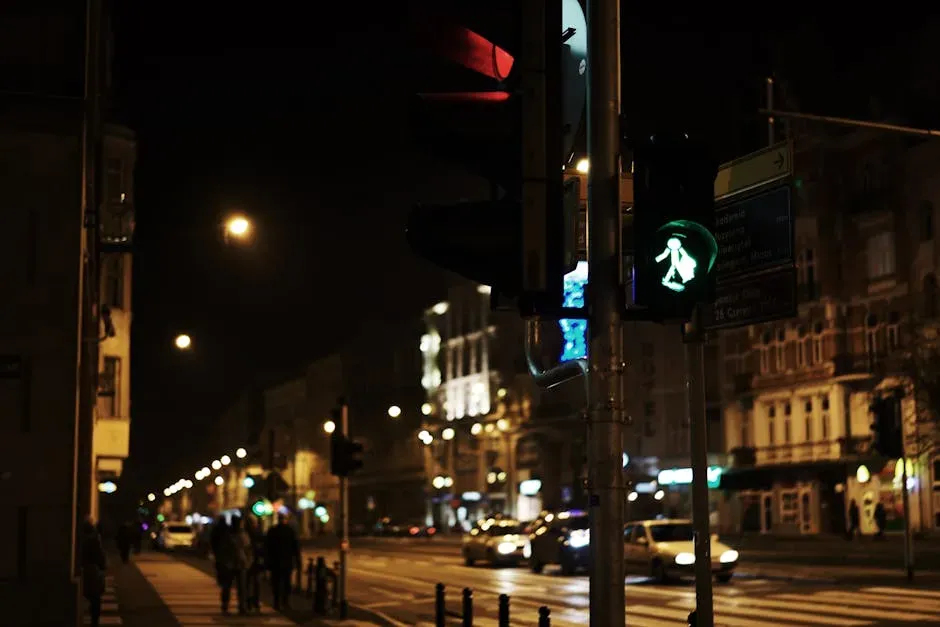
Nationally, drivers killed 7,148 people in 2024, with more than three quarters of pedestrian fatalities taking place after dark. Las Vegas follows that pattern closely, and in some ways amplifies it. Erin Breen, Director of UNLV’s Road Equity Alliance, noted that at least three quarters, if not more, of the state’s pedestrian fatalities happened between dusk and dawn.
Seeing a pedestrian at night takes longer than during daylight because headlights create sharp contrasts, hide shadows, and can make objects appear farther away than they are. Even a well-intentioned driver may not spot someone until the very last second, leaving almost no time to swerve or brake. In a city that never fully shuts down, nighttime is not a rest period – it’s the most lethal part of the day for anyone walking.
Wide Roads and Car-First Design: A Structural Problem

Las Vegas’s roads are generally wide, which affords vehicles greater ease of navigation during busy tourism seasons, but also allows them to reach higher speeds. This is particularly dangerous for pedestrians, who cannot quickly avoid a speeding car. That design logic, built into the city’s infrastructure decades ago, is now one of its most persistent safety liabilities.
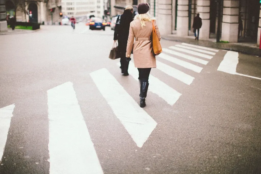
Safety experts point to the Las Vegas area’s road infrastructure as a significant factor in pedestrian accidents. Many streets stretch wide and long, which encourages higher speeds and increases risk for those on foot. Compounding this, nearly two thirds of pedestrian deaths nationally occurred in locations without a sidewalk in 2023. Sidewalks can help protect people walking by providing a physical separation from motor vehicle traffic, but they are missing or in poor condition in many parts of the country – and parts of Las Vegas are no exception.
Larger Vehicles, Larger Consequences
More than half of pedestrian deaths nationally involved collisions with SUVs and pickup trucks, which accounted for roughly 54 percent of fatalities, according to GHSA data. The trend toward larger personal vehicles, deeply visible on Las Vegas roads, has direct consequences for survival rates when those vehicles strike someone on foot.
Alcohol impairment by both drivers and pedestrians remains a significant safety concern. In 2023, roughly 29 percent of pedestrians aged 16 and older killed in motor vehicle crashes had a blood alcohol concentration above the legal limit, while an estimated 16 percent of fatal pedestrian crashes involved a driver who was also above the legal limit. In a city built around nightlife and alcohol consumption, that figure has an obvious local dimension.
Metro Police, METRO Data, and the 50 Most Dangerous Intersections
In January 2026, Metro issued a list of its 50 top crash intersections, drawn from its 10 area commands. These are intersections that see a disproportionate number of accidents where Metro issues citations for speeding well over the posted limit, running a red light, or driving without a valid license or registration. The release of that list was part of a broader enforcement push tied to the city’s ongoing traffic safety campaigns.
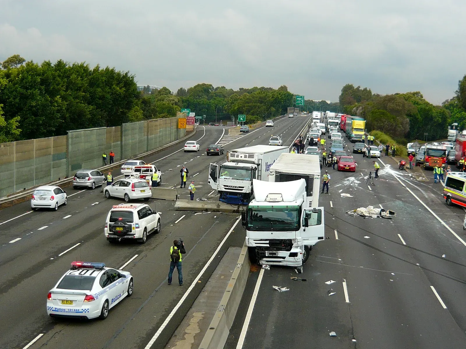
Las Vegas Metropolitan Police Department officials unveiled the intersections with the highest risk in Las Vegas based on the department’s analysis of data from December 2023. Las Vegas records more than 20,000 reported traffic accidents each year, averaging about 56 incidents per day. Failure-to-yield collisions surged in recent years, making them the top fatal crash cause.
Vision Zero and the Push to Redesign the City
Each year, the city of Las Vegas sees over 40 lives lost due to traffic crashes. The city’s Vision Zero program aims to develop holistic, effective, and well-defined transportation safety strategies with the goal of eliminating all traffic fatalities and serious injuries by the year 2050. That goal is ambitious, and given the current numbers, the distance to it feels real.
Las Vegas is testing an artificial intelligence system that could train crosswalk signs to time themselves based on the person crossing the road, using data on pedestrian volumes and speed to detect pedestrians waiting to cross and adjust traffic signal timing in real time. Las Vegas officials secured a $1.4 million federal grant to invest in an AI pedestrian detection system on the Fremont Street corridor. Still, critics have pointed out that the pace of physical infrastructure improvements has not matched the scale of the problem.
What Progress Looks Like – and Where Gaps Remain
Nevada’s 2025 full-year data showed 381 traffic-related deaths statewide – the first time since 2021 that the number did not surpass the 400 mark. In Clark County, there were 239 traffic deaths in 2025, down 19 percent from 2024’s 296 fatalities. That decline is meaningful and reflects genuine effort from multiple agencies. Whether it holds is a different question.
Not many bicycle infrastructure projects like paved trails and protected bike lanes have been completed as a giant regional network in the Las Vegas and Clark County area – just disjointed segments here and there. Narrowing travel lanes on arterial roads, with further reductions at intersections, would slow drivers down and ensure that crashes that do happen are less severe – and would allow for protected bike lanes and wider sidewalks for those traveling under their own power. The engineering solutions are known. The commitment to implementing them city-wide remains, for now, a work in progress.
The Bigger Picture: A National Crisis With a Local Face

U.S. drivers struck and killed 7,148 people walking in 2024, a decline of 4.3 percent from the year before and the second annual drop – but still nearly 20 percent higher than the 2016 level. Between 2009 and 2023 alone, pedestrian deaths in the U.S. rose by 80 percent, while all other traffic fatalities increased by just 13 percent. Las Vegas is not an outlier in a healthy system. It’s a concentrated expression of a national pattern.
Pedestrian deaths are increasing faster than overall traffic fatalities, and now account for nearly one fifth of all traffic-related deaths in the U.S. In Las Vegas, where road design, tourism culture, nightlife, and vehicle speeds all compound one another, that share may be even higher. The data makes that hard to dispute.
The improvement seen in 2025 is real and worth acknowledging. However, the underlying conditions – wide arterials, inadequate lighting, car-dominant design, and driver behavior that still skews toward speed – haven’t fundamentally changed. Progress measured in single-digit percentage drops, against a backdrop of record-high baselines, leaves no room for complacency. For the person stepping off a curb on Flamingo Road at 10 p.m., the numbers are only part of the story. The road itself tells the rest.


