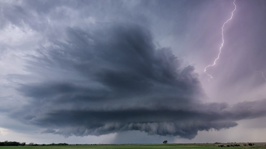


SPC Severe Thunderstorm Watch 185 Status Reports – Image for illustrative purposes only (Image credits: Unsplash)
Texas Hill Country – The Storm Prediction Center issued Severe Thunderstorm Watch 185 at 8:30 a.m. CDT on Wednesday, placing portions of central Texas under alert until 1 p.m. CDT.[1][2] This watch covers areas along and 50 statute miles north and south of a line extending from about 60 miles west-southwest of Junction to 30 miles northeast of Austin. Officials noted that status reports for the watch had not yet been released as activity developed.
Scope of the Watch
The watch encompasses much of the Texas Hill Country and surrounding central Texas regions, affecting an estimated 27 counties. Communities near Kerrville, Boerne, Austin, San Marcos, Kingsland, Killeen, and Gatesville fall within the zone.[3][4] Storms were expected to track eastward near a west-to-east oriented frontal zone through the morning and midday hours.
Forecasters highlighted a few severe thunderstorms likely to produce hazards as they moved across the area. The National Weather Service emphasized monitoring local updates, as conditions could evolve rapidly.
Primary Threats Identified
Large hail emerges as a key concern, with scattered events possible and isolated very large hail up to 2 inches in diameter. SPC assessed the severe hail probability as moderate.[1] Damaging wind gusts reaching 70 mph also pose a risk, classified at moderate low for severe winds exceeding 65 knots.
Tornado potential remains very low, though severe thunderstorms occasionally generate twisters. Aviation hazards include hail at surface and aloft, extreme turbulence, and gusts up to 60 knots, with storm tops possibly reaching 55,000 feet.
- Hail: Scattered large, isolated 2-inch very large (Moderate severe hail probability)
- Wind: Scattered gusts to 70 mph (Moderate low severe wind)
- Tornado: Very low likelihood
Status Updates Pending
As of early reports, no formal status updates had been issued for Watch 185. These periodic bulletins typically outline whether threats persist right of a specified line or if adjustments are needed. Residents and officials monitored radar for initial storm development.
The Storm Prediction Center provided a link for future status reports, signaling that evaluations would follow as storms intensified. Earlier mesoscale discussions preceded the watch issuance, underscoring building instability.
Broader Context and Preparation
This watch aligns with a pattern of severe weather potential across parts of Texas on May 6. Scattered thunderstorms capable of severe impacts were forecast from eastern Texas into nearby regions. Local emergency management urged precautions like securing outdoor items and avoiding travel under developing storms.
By midday, the watch’s expiration approached, but forecasters cautioned that isolated severe weather could linger. Communities in the Hill Country prepared for possible disruptions from hail and winds.
While the immediate threat under Watch 185 winds down, the episode serves as a reminder of spring’s volatile weather in Texas. Staying informed through official channels remains essential as patterns shift.