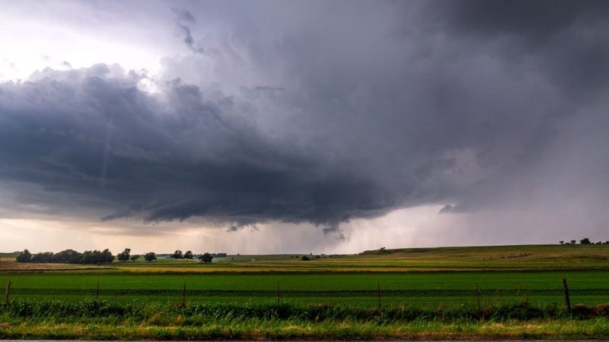

The sheer scale of this supercell storm – Image for illustrative purposes only (Image credits: Unsplash)
A supercell thunderstorm stands apart from ordinary storms through its persistent rotating updraft. These systems often form in environments with strong wind shear and abundant moisture. Their vertical reach and horizontal extent can rival or exceed those of larger weather features, drawing attention during active severe weather periods.
Core Features That Define Scale
The rotating updraft, or mesocyclone, serves as the engine behind a supercell’s growth. Warm, moist air rises rapidly while cooler air descends in adjacent regions, sustaining the cycle for hours. This structure allows the storm to expand far beyond typical thunderstorm limits, sometimes spanning dozens of miles across. Wind speeds within the updraft can accelerate to extreme levels. Precipitation patterns shift as the storm matures, with hail cores and heavy rain concentrated in specific zones. Observers note how these elements combine to create a self-reinforcing system that maintains intensity longer than surrounding cells.
Comparison to Broader Hurricane Dynamics
Hurricanes operate on a much larger scale, yet embedded supercells within their outer bands can display comparable local intensity. The contrast highlights how individual storms contribute to overall system power without matching the hurricane’s total footprint. Forecasters track these embedded features because they often produce the most damaging winds and tornadoes near the coast. Data from past seasons show supercells forming in the right-front quadrant of approaching hurricanes. Their presence adds complexity to rainfall forecasts and wind damage assessments. This interaction underscores why monitoring both scales remains essential during tropical cyclone events.
Why These Storms Command Attention
The combination of rotation, height, and duration sets supercells apart in operational forecasting. Aviation routes adjust around their tops, which frequently exceed 50,000 feet. Ground impacts range from flash flooding to isolated tornadoes, prompting rapid public alerts. Communities in prone regions prepare for sudden changes when supercells develop. Emergency managers emphasize early detection because the storms can intensify quickly once the mesocyclone organizes. This focus on rapid evolution helps reduce response times when warnings are issued.
What Matters Now
- Supercells thrive on wind shear and moisture contrasts.
- Embedded cells within hurricanes amplify local hazards.
- Continued monitoring improves both short-term warnings and seasonal outlooks.
Understanding these patterns supports better preparedness as severe weather seasons unfold.