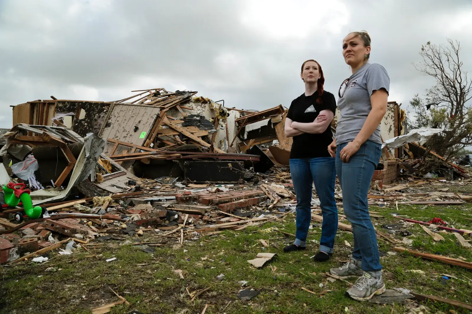
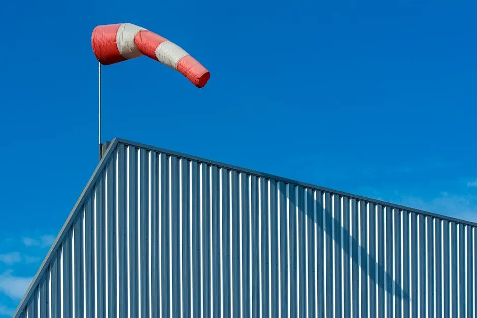
There’s a quiet war happening every time a strong gust rips through a valley neighborhood. You can hear it in the rattling windows, feel it in the way a front door almost tears from its hinges, and see it in the scattered debris the morning after. Some neighborhoods take that beating and barely flinch. Others fall apart. The difference isn’t luck. It’s design, code, and a growing understanding of what wind actually does to a built environment.
Across the United States and around the world, certain valley corridors are becoming laboratories for a new kind of architecture, one that treats wind not as a threat to ignore but as a force to design around. Welcome to the story of the “Windy 100.” Let’s dive in.
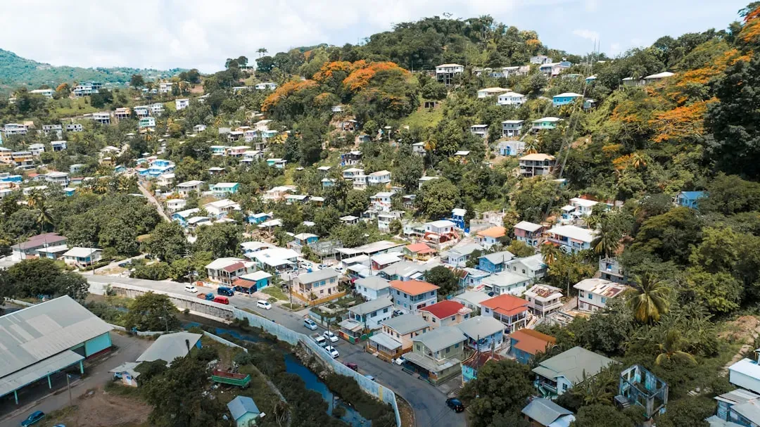
What Makes a Valley a Wind Trap


Valleys don’t just channel water. They channel air. Think of them like a funnel you’d use in a kitchen: anything entering the wide end gets squeezed and accelerated through the narrow end. That’s exactly what happens when prevailing winds meet topographic constraints.
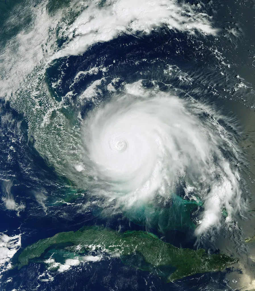
Take Corona, California, for example. It sits in the wind corridor between the Santa Ana Mountains to the south and the Temescal Mountains to the north, and when offshore pressure gradients build, the Santa Anas funnel through this gap at sustained 40 to 60+ mph with single-digit humidity. That’s not just uncomfortable. That’s a structural problem.
Research analyzing Korean valley cities found that areas with complex and deep valleys recorded the highest average heights of local cold air accumulation, meaning low-lying neighborhoods trapped and intensified airflows. Valley neighborhoods, honestly, get hit from multiple directions at once. It’s a phenomenon that flat terrain simply never produces.
When the Wind Becomes a Standard: How the NWS Defines the Problem

Here’s the thing about wind thresholds: not all of them are created equal, and understanding the line between “gusty” and “dangerous” matters enormously to how buildings are designed. The National Weather Service defines high winds as sustained speeds of 40 mph or greater, with gusts of 58 mph or higher considered severe, thresholds that directly influence building safety standards.
Valley neighborhoods regularly sit inside those thresholds. Not occasionally. Regularly. From September through May, for instance, residents in wind-corridor communities deal with toppled trees, shredded shade sails, and scattered mulch on a regular basis. That’s a months-long seasonal battering, not an occasional weather event.
Wind load requirements vary significantly across the United States due to regional climate patterns, historical storm data, and geographic exposure, with coastal states facing hurricane threats while inland regions deal with severe thunderstorms and tornadoes. These differences necessitate tailored building codes and engineering standards. Valley communities, wedged between these two worlds, often face the worst of both.
ASCE 7-22: The Blueprint That’s Changing How Valley Homes Are Built

If you’ve never heard of ASCE 7-22, you’re not alone. Most people haven’t. Yet this document, published by the American Society of Civil Engineers, is arguably the single most important force reshaping how wind-exposed neighborhoods are constructed today.
ASCE 7, “Minimum Design Loads and Associated Criteria for Buildings and Other Structures,” is the authoritative standard published by the American Society of Civil Engineers that provides requirements for determining structural loads on buildings. This standard is referenced by all major U.S. building codes including the International Building Code and serves as the foundation for structural design across the United States.
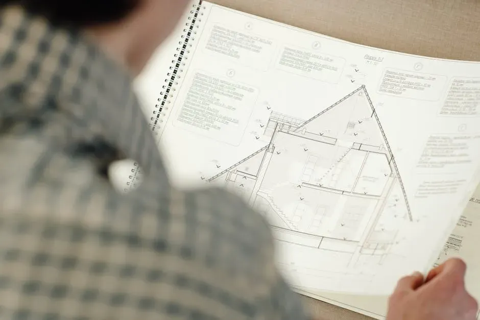
ASCE 7-22 includes several notable changes to the wind load provisions, including updates to the wind speed maps, new criteria for elevated buildings, and new tornado loads. For valley neighborhoods in high-wind zones, these aren’t abstract technical tweaks. They translate directly into stronger anchor bolts, heavier roof connections, and more robust wall assemblies.
ASCE 7-22 represents the most current wind load provisions and includes significant updates to wind speed maps, risk categories, and design procedures. This edition reflects the latest research in wind engineering and incorporates lessons learned from recent hurricane events. The lessons of past disasters are now literally being built into valley homes.
The 60% Rule: Why Better Codes Save Enormous Amounts of Money

Skeptics sometimes argue that stronger building codes just mean higher construction costs with unclear benefits. The data makes that argument very difficult to sustain. According to the Federal Emergency Management Agency, stronger building codes and wind-resistant design can reduce structural damage costs by up to 60% during extreme weather events. That’s not a small number. That’s the difference between a manageable repair and a total loss.
One of the most reliable ways to ensure increased performance and resilience of our nation’s built environment is the widespread adoption and enforcement of up-to-date, modern building codes and standards. Yet adoption remains uneven. Many jurisdictions still lag one or two full editions behind the current standard, leaving valley neighborhoods exposed to risks that updated codes would significantly reduce.
Strengthening a structural system allows for building future additions or solar or green roofs, and adaptability also means that zoning laws and building codes need to continually evolve in line with climate projections. In practical terms, a well-built wind-resistant home today is also a more adaptable home for tomorrow’s climate challenges.
The Science of Wind Mapping: How Planners Now See the Invisible

Not long ago, urban planners basically guessed at wind behavior. Today, computational fluid dynamics and detailed wind corridor mapping have transformed that guesswork into precise science. Think of it like an MRI for airflow. Suddenly, you can see the invisible.
Under the trend in climate change and global warming, promoting urban wind corridor planning to reduce urban temperatures has received widespread attention in many cities, and integrating current spatial analysis and simulation tools to enhance urban wind corridor planning to obtain the best urban ventilation effect has become increasingly important.
Rapid urban developments have resulted in numerous environmental challenges, including severe air quality and heat island effects. The construction of urban ventilation corridors provides an effective solution for enhancing air circulation and reducing these effects. In valley neighborhoods, those corridors can either protect residents or accelerate wind damage, depending on how the built environment is arranged. Getting the mapping right is everything.
Building Shape, Roof Angle, and the Details That Actually Matter
I think most people imagine that wind resistance is about making buildings thicker or heavier. That’s actually a misconception. The real story is far more nuanced, and honestly more interesting. Shape matters more than mass.
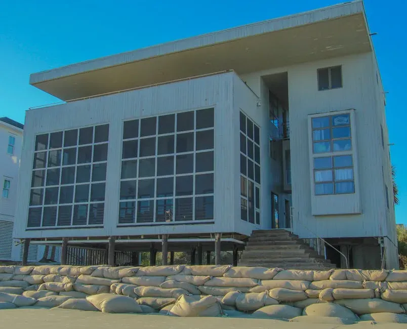
The uplift created on a building by wind is not uniformly distributed and will vary depending on factors such as roof shape. Wind uplift is highest at the corners, then perimeters, and is the least in the center of the roof. This is why valley homes in high-wind zones increasingly feature hip roofs instead of gable roofs. A gable acts like a sail. A hip roof lets the wind slide over.
Sudden changes in urban morphology can also produce wind gusts, unusual wind shear, and changes in atmospheric stability. This is why two neighboring streets in a valley can experience wildly different wind conditions. The placement of a single large building can redirect airflow entirely, turning a calm street into a wind tunnel. Computer simulations show that changes in building forms can drive wind flow through small-scale sites, and the removal of small, fragmented buildings during renewal was found to be of great significance for improving local ventilation.
The Energy Dimension: When Wind Design Also Saves on Utility Bills


This media shows the protected monument with ObjektID 63251 in Austria. (Commons, de, Wikidata)
This media shows the protected monument with ObjektID 63253 in Austria. (Commons, de, Wikidata), CC BY-SA 3.0 at)
Here’s a surprising twist that rarely makes it into the conversation about wind-resistant neighborhoods. Designing around wind doesn’t just protect structures. It can dramatically cut energy costs too. The U.S. Department of Energy highlights that wind flow patterns around buildings significantly impact energy efficiency, with well-designed layouts reducing energy loss in windy environments.
According to global building performance studies, buildings designed with the right sun and wind orientation consume 30 to 50% less energy than poorly oriented buildings of the same size. That’s an enormous operational saving over the lifetime of a home, making smart wind design one of the most cost-effective investments any neighborhood can make.
Computational simulations have revealed that the appropriate orientation of a building can reduce total electricity loads, demonstrating the importance of integrating wind engineering into urban design to improve pedestrian wind comfort and reduce the reliance on mechanical cooling. In a valley where temperatures and winds both run high, that relationship between aerodynamic design and energy savings becomes even more direct.
The Global Investment Case: Why the World Is Finally Taking This Seriously


For decades, wind-resilient neighborhood design was treated as a regional concern, mostly a worry for coastal communities facing hurricanes. The picture in 2026 looks very different. Climate-adaptive infrastructure, including wind-resistant housing, is now recognized as a global investment priority of the first order.
Adaptation and resilience are critical to manage climate risks including extreme weather, floods, and drought, along with indirect exposures such as disruptions to supply chains and vulnerabilities in infrastructure. Today, many parts of the world have a resilience deficit, and a changing climate is increasing the frequency and intensity of climate conditions across the world.
Climate change is creating new levels of complexity for infrastructure and capital projects such as roads, bridges, buildings, and utilities. Long-term planning has become fraught with uncertainty as leaders seek to invest in projects with long life spans, while extreme weather is already affecting our built environment in real and immediate ways. The World Bank has noted that resilient infrastructure investments could generate massive global savings by 2030 through reduced disaster-related losses, including those caused by high winds. Valley neighborhoods, sitting at the intersection of topographic vulnerability and escalating climate risk, are no longer a niche concern. They are the front line.
Conclusion: The Neighborhoods That Will Still Be Standing

It’s hard not to feel a certain admiration for the engineers, planners, and architects who have spent years trying to build smarter in the face of forces that could flatten their work in minutes. The “Windy 100” concept isn’t just a metaphor. It describes a real and measurable spectrum of wind vulnerability in valley communities, and the growing community of professionals committed to understanding it.
The science is clear. Better wind mapping, updated standards like ASCE 7-22, smarter building orientation, and well-enforced codes can dramatically reduce the human and financial cost of living in wind-exposed valleys. It’s not about building bunkers. It’s about building intelligently, the way a valley landscape actually demands.
The neighborhoods that will still be standing in 50 years are not necessarily the ones built with the most money. They are the ones built with the most knowledge. What would you change about the neighborhood you live in if you knew what the wind was planning to do next?