
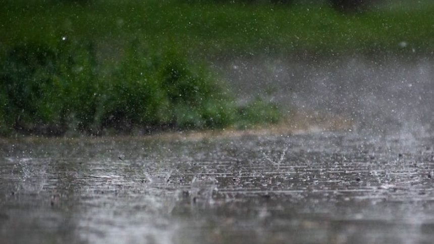

6:00 AM | **Beneficial rainfall on the way…showers today and tonight…threat again on Saturday….threat again on Sunday night and Monday** – Image for illustrative purposes only (Image credits: Pexels)
Washington, D.C. – A cold front moving into the Washington metro region promises beneficial rainfall starting this morning, offering relief after drier periods. Showers and possible thunderstorms will persist through tonight, accompanied by breezy conditions and cooler air. Meteorologist Paul Dorian of Arcfield Weather noted that the precipitation will help replenish local moisture levels as the system evolves over the coming days.
Showers Dominate Today and Tonight
Clouds will blanket the area for most of the day, with south to southwest winds picking up to 10-20 mph and gusts reaching 30 mph. Temperatures will peak near 75 degrees, a drop from recent warmer readings. Occasional showers could develop at any time, with a chance for an afternoon thunderstorm adding to the mix.
Conditions turn cooler overnight under mainly cloudy skies. Breezes continue as lows dip into the lower 50s. Showers remain possible through the evening, potentially including another thunderstorm before the pattern shifts.
Thursday Brings a Cooler, Transitional Feel
Skies gradually clear to partly sunny by Thursday afternoon, though the air feels noticeably cooler with highs in the lower 60s. A lingering chance of isolated showers persists early in the day. The stalled front nearby keeps moisture in play, but impacts stay limited.
Nighttime lows settle into the middle 40s under partly cloudy skies. Chilly conditions mark a departure from earlier warmth, signaling high pressure’s gradual return. Residents might need light jackets for evening outings.
6-Day Temperature Snapshot
Day
Afternoon High
Overnight Low
Today
Near 75°
Lower 50s
Thursday
Lower 60s
Middle 40s
Friday
Upper 60s
Not specified
Saturday
Lower 70s
Not specified
Sunday
Upper 70s
Not specified
Monday
Upper 60s
Not specified
Weekend Warm-Up Interrupted by Showers
Friday shapes up as the clearest day of the week, with mainly sunny skies and breezy winds ushering in mild upper 60s highs. High pressure dominates, providing a brief respite from the shower threats. This setup holds through the morning before subtle changes emerge.
Saturday clouds increase under mild conditions, with lower 70s highs and occasional showers possible. Sunday starts with sun before clouds build, pushing temperatures to the upper 70s. Late-day or nighttime showers carry a notable chance as another disturbance approaches.
Monday’s Renewed Threat and Broader Pattern
The workweek begins anew on Monday with mainly cloudy skies and cooler upper 60s highs. Showers and thunderstorms pose the primary risk, tied to an incoming system. This follows the weekend’s variable setup.
Overall, the cold front stalls Thursday, with low pressure forming south and east for limited local effects. High pressure rebounds Friday, only for disturbances to stir activity Saturday and again Sunday night into Monday. The pattern underscores a return to active weather after a quiet close to the workweek.
Those planning outdoor activities should monitor updates closely, as timing for showers remains fluid. The influx of rain proves timely for the region, balancing out the week’s temperature swings.


