
Most people picture Las Vegas as a place where the sun beats down relentlessly and rain barely registers on the forecast. That picture is mostly accurate. Yet every summer, the same dry valley that bakes under triple-digit heat gets hit with something entirely different: fast, violent, and sometimes catastrophic flash floods.
The desert’s relationship with water is deceptively dangerous, and for residents living in certain parts of the valley, monsoon season is anything but a background concern. Understanding which areas are genuinely at risk, and why, is one of the more practical things a Las Vegas homeowner, renter, or buyer can do.
Why a Desert City Floods at All
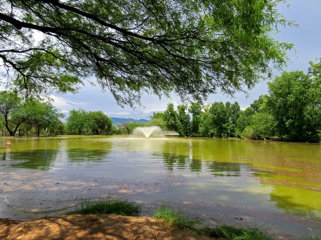
While Las Vegas only receives four to five inches of annual rainfall, much of it falls during intense summer monsoon storms. Desert soil doesn’t absorb water well. When monsoon storms hit between July and September, rainfall runs off quickly rather than soaking in, and washes, channels, and low-lying areas can flood rapidly. The valley’s bowl shape concentrates runoff toward certain areas, creating a geography that funnels water into the same neighborhoods again and again.
When Monsoon Season Actually Hits
Monsoon season typically begins in July and ends in September, with the potential to create floods across Southern Nevada, but especially in areas like the mountains or neighborhoods with flood channels going through them. An average monsoon season in Las Vegas could bring “a handful of days each month where we get thunderstorms and we see flash flooding in the area,” though the nature of these storms tends to be highly localized. It is possible for an area to receive heavy rainfall in a short time, while nearby areas as close as one or two miles away receive little or no rain.
How FEMA Classifies Las Vegas Flood Zones
The most common FEMA flood zones in Las Vegas are Zone AE, Zone AO, and Zone X. Zone AE and AH designate high-risk areas within the 100-year flood plain, and if you have a federally-backed mortgage, flood insurance is required. Zone X is the minimal risk designation where most Las Vegas properties are located, falling outside the 100-year and 500-year flood plains. Las Vegas also has Zone AO areas subject to sheet-flow flooding, where shallow water spreads across broad, flat terrain rather than channeling through waterways.
The Zip Codes That Face the Highest Risk

Properties near washes, channels, or low areas are most likely to fall in high-risk zones, and flood insurance is required by lenders for these properties. Older, central Las Vegas zip codes such as 89101, 89102, and 89106 sit in parts of the valley that were developed before modern drainage standards were adopted, making them more vulnerable during heavy storms. Most of Henderson is considered low risk for flooding, but older areas of the city constructed prior to the adoption of local drainage design standards may still experience localized flooding.
The Las Vegas Wash: The Valley’s Flood Highway
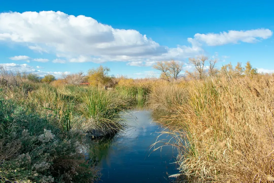
Since Las Vegas is located in a basin with a single outlet, the Las Vegas Wash, all rain runoff drains to the east side of the basin where it will eventually be deposited into Lake Mead. Once seasonally active with broad floodplains, the Las Vegas Wash has become a perennial stream with a constant flow of water, stretching approximately 12 miles from the southeastern portion of Las Vegas to Las Vegas Bay. Las Vegas faces severe flash flood risk from monsoon thunderstorms, with urban development in desert washes increasing flood vulnerability, and the Las Vegas Wash and numerous flood channels drain stormwater through the heavily developed valley.
The Scale of Clark County’s Flood Control System
Since its inception about 40 years ago, the flood control district has invested $2.5 billion into building 110 detention basins, 713 total miles of flood channels, and 222 real-time rain gauges. The Tropicana Detention Basin was pivotal during recent monsoon seasons, sitting off South Decatur Boulevard and protecting areas like Allegiant Stadium, the nearby railways, the Las Vegas Strip, Harry Reid International Airport, and UNLV from flooding. The increase in hardscape as the valley has developed has contributed to increased runoff over time, and to help alleviate flood damage, the Clark County Regional Flood Control District has spent millions building detention basins and concrete drainage channels throughout the area.
What the Financial Data Reveals About Risk
FEMA’s National Risk Index estimates Clark County’s annual expected loss from inland flooding at over $362.2 million. Properties in Clark County have filed 626 NFIP flood insurance claims totaling $9.3 million in payouts since 1978. Clark County has been included in three federal flood-related disaster declarations, and these declarations affected communities across Clark County, including Las Vegas – a figure that puts the valley’s cumulative flood exposure in clear perspective.
The Gap Between Flood Maps and Real Risk
Flash flood risk is difficult to predict by zone alone because intense localized rainfall can flood areas outside mapped Special Flood Hazard Area boundaries, and under FEMA’s Risk Rating 2.0, the agency accounts for distance to water, drainage characteristics, and rainfall intensity, not just the flood zone line on a map. FEMA Flood Maps identify the 100-year and 500-year floodplains, but modern climate risk analysis suggests that nearly a quarter of flood insurance claims originate from properties outside of these designated high-risk zones. Flash flood zone boundaries may shift when FEMA updates its stormwater drainage studies or when new development changes runoff patterns, and urbanization in particular increases impervious surface area and can expand flood risk into previously unaffected neighborhoods.
Flood Insurance: What It Costs and When It’s Required
Some Las Vegas properties fall within FEMA flood zones requiring mandatory flood insurance that can cost $500 to $3,000 or more annually. Las Vegas participates in FEMA’s Community Rating System, a voluntary program that rewards communities for flood mitigation efforts beyond minimum requirements, and residents in the Special Flood Hazard Area may qualify for reduced flood insurance premiums. Las Vegas’s Class 5 rating means NFIP policyholders in the Special Flood Hazard Area can receive up to a 25% discount on flood insurance premiums, while properties outside the SFHA may receive a 10% discount. Standard homeowners insurance policies do not cover flood damages, but the National Flood Insurance Program offers flood insurance that can be purchased regardless of whether your home is located in a flood zone, covering both structural and content damage.
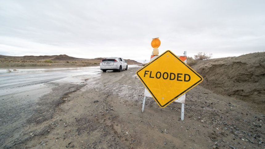
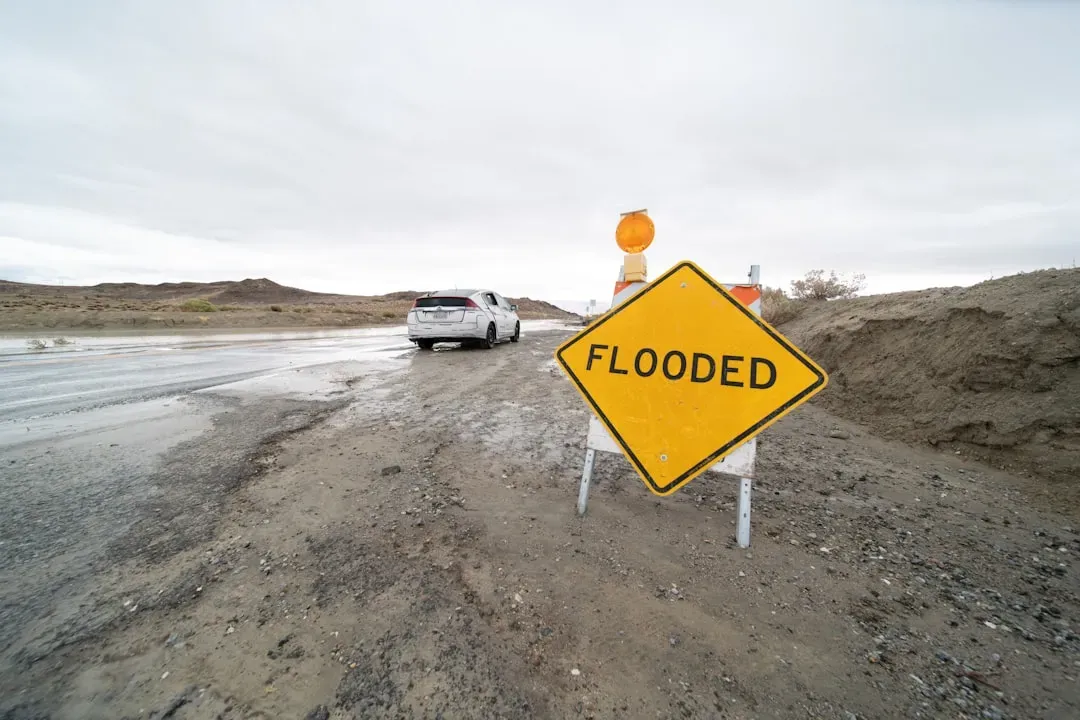
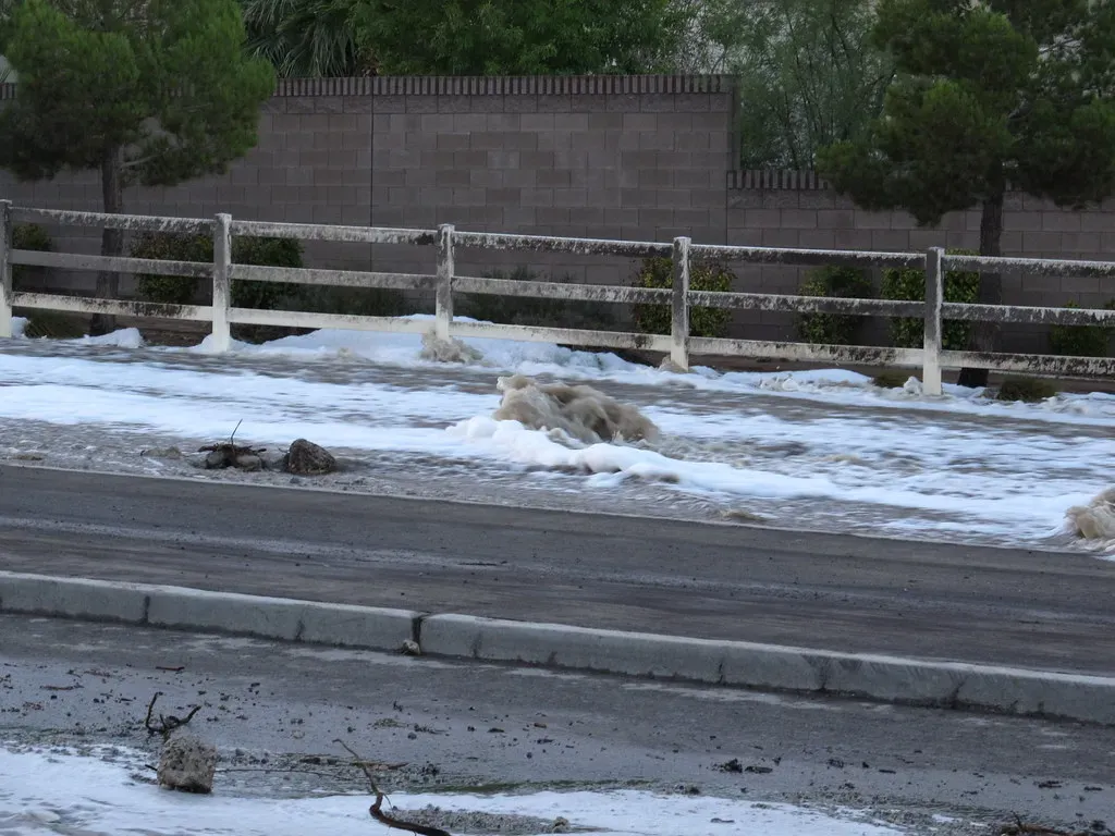
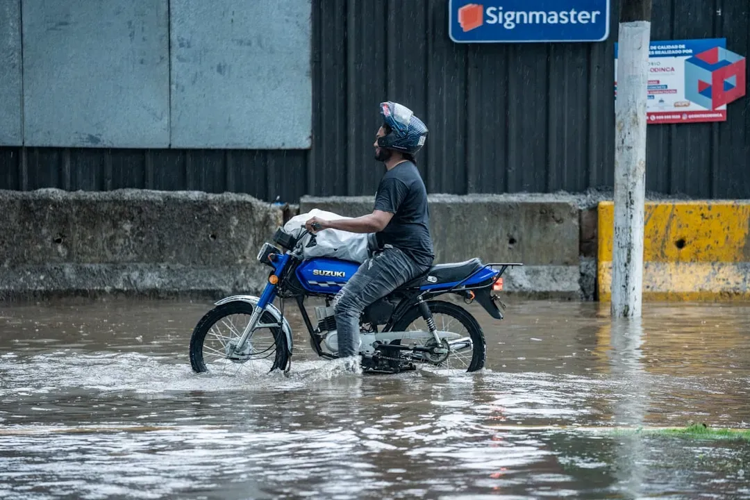
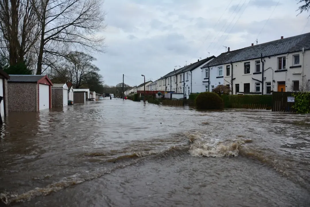
Staying Safe When the Storms Arrive
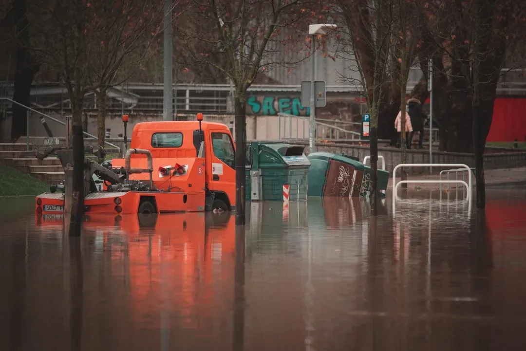
Las Vegas is vulnerable to flash flooding, where intense rainfall overwhelms drainage systems and sends water rushing through streets, arroyos, or low-lying areas within minutes. Unlike river flooding, flash floods arrive with little warning and can be deadly in urban areas and desert terrain. Even small storms with just a little precipitation can produce dangerous flooding in the desert. Roadways can fill with water and trap motorists, and dry washes can become raging rivers within moments. During a storm event, people should attempt to shelter in place to decrease their risk of being caught in a flash flood. The Clark County Regional Flood Control District maintains real-time rainfall and gauge data at regionalflood.org, which residents can monitor during active weather events.
How to Check Your Own Zip Code’s Flood Status
The FEMA Flood Map Service Center is the official online location to find all flood hazard mapping products created under the National Flood Insurance Program, including your community’s flood map. Any place with a one percent or higher annual chance of flooding is considered high risk, and those areas have at least a one-in-four chance of flooding during a 30-year mortgage. For additional resources, residents can also visit the Clark County Regional Flood Control District’s website to find out if they are in a Special Flood Hazard Area, or use FEMA’s Flood Map Service Center at msc.fema.gov. Checking your specific address before buying or renting is straightforward and free, and it’s one of those small steps that can save thousands of dollars and genuine hardship down the line.
Las Vegas is a city built on calculated risk, and flood exposure is no different. The desert setting lulls many residents into a false sense of security, but the infrastructure data, insurance claims, and federal disaster declarations tell a more grounded story. Knowing where your zip code stands before the first monsoon cell rolls in is simply good sense.


