
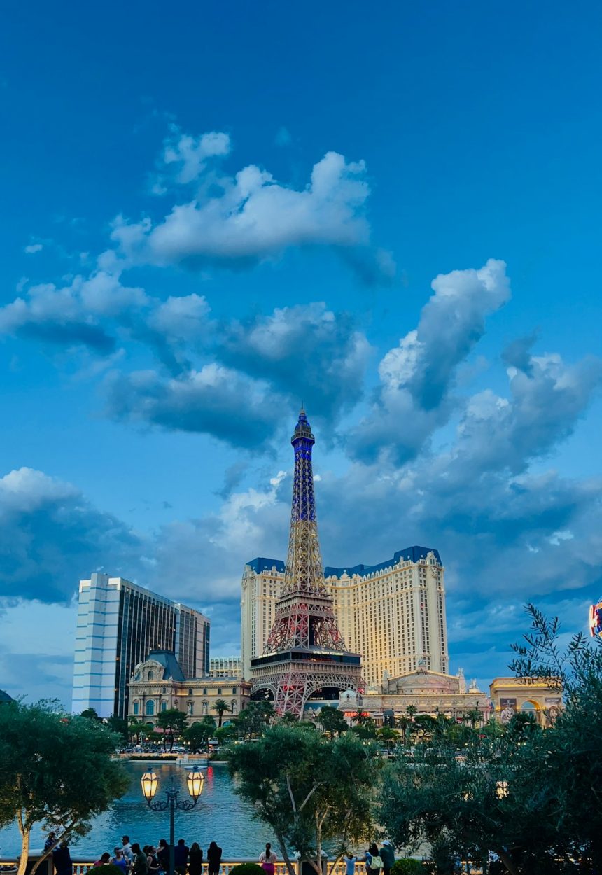

A Warm Start Signals Record Territory (Image Credits: Unsplash)
Las Vegas – The city greeted the final Monday of March with high-altitude clouds drifting overhead and steady southwest breezes rustling through the valleys. Temperatures pushed toward a record-tying high of 90 degrees Fahrenheit, matching the mark set in 2015.[1] Meteorologists highlighted increasing cloud cover throughout the day, setting the stage for potential light showers the following day.[2]
A Warm Start Signals Record Territory
Early morning conditions featured partly cloudy skies and light southwest winds around 8 to 10 miles per hour. As the sun climbed higher, gusts strengthened to 18 miles per hour, contributing to a balmy afternoon feel. The National Weather Service noted mostly sunny intervals giving way to thicker cloud layers by evening.[3]
This warmth marked a continuation of an unusually hot March, with today’s high aligning precisely with historical peaks. Residents reported comfortable outdoor activities despite the breeze, though caution advised for those sensitive to gusts. Air quality remained good, supporting active lifestyles across the Strip and beyond.
Southwest Winds Pick Up Pace
Breezy conditions dominated the forecast, with southwest winds sustaining speeds of 10 to 20 miles per hour into the night. A wind advisory covered parts of the region, urging drivers to secure loose items and boaters to exercise care on Lake Mead.[4] These gusts carried high clouds eastward, gradually thickening the overhead veil.
Forecasters attributed the wind pattern to a passing upper-level disturbance, which also introduced moisture hints. Evening lows hovered around 68 degrees Fahrenheit under mostly cloudy skies, with winds easing slightly after midnight. Such patterns often precede shifts in local weather, keeping meteorologists vigilant.
Clouds Increase, Showers on Horizon
Intervals of sunshine punctuated the day, but cloud cover built steadily from the southwest. By late afternoon, partly cloudy conditions transitioned toward overcast stretches, particularly over the Spring Mountains. The setup promised no major disruptions today, yet positioned Las Vegas for scattered showers Tuesday.[5]
Light precipitation chances focused on higher terrain first, potentially drifting into the valleys overnight. Accumulations stayed minimal, under 0.1 inches, but enough to freshen the air. Travelers planned accordingly, checking updates from reliable sources like the National Weather Service.
Looking Ahead: Weekly Snapshot
Tuesday brought cooler air with highs near 82 degrees Fahrenheit and sustained winds. A late-day shower risk lingered, tapering by Wednesday’s mostly sunny skies at 78 degrees. The pattern stabilized midweek, favoring outdoor events.
| Day | High (°F) | Conditions |
|---|---|---|
| Monday (Today) | 90-91 | Breezy, increasing clouds |
| Tuesday | 82 | Windy, possible late showers |
| Wednesday | 78 | Chance early showers, then sunny |
| Thursday | 80 | Mostly sunny |
- Monitor wind advisories for Valley impacts.
- Prepare for minor shower disruptions Tuesday.
- Expect a return to mild, dry conditions by week’s end.
- UV index peaks at 6-7; sunscreen recommended.
- Pollen levels moderate amid breezes.
Key Takeaways
Las Vegas wrapped March on a high note, blending warmth, wind, and subtle atmospheric shifts that teased spring’s arrival. As clouds thicken and breezes persist, the city remains primed for variable weather. What impacts will these conditions have on your plans? Share in the comments below.


