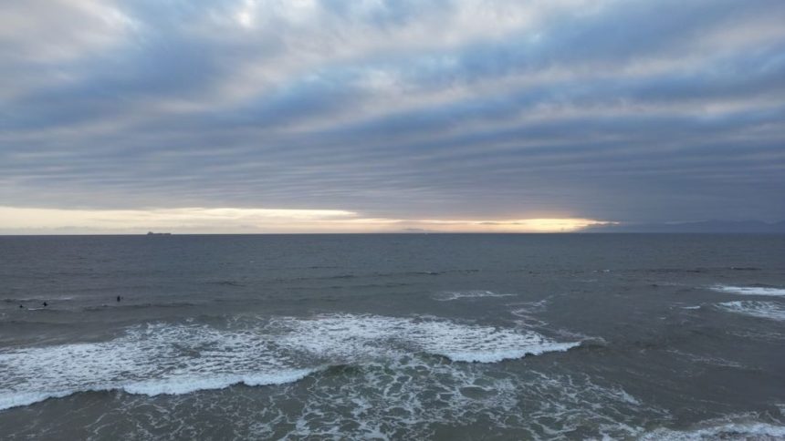

SoCal to see chance of showers Tuesday ahead of significant warmup – Image for illustrative purposes only (Image credits: Unsplash)
Los Angeles — Scattered showers dotted Southern California on Tuesday morning, capping off a cool and cloudy stretch in the region. A 30 percent chance of light rain persisted through the day, though not every area saw precipitation.[1][2] Forecasters noted the low-pressure system responsible for the moisture would exit by Wednesday, paving the way for sunshine and rising temperatures that could climb 15 to 20 degrees in some spots by Thursday.
Tuesday’s Cool and Cloudy Conditions
High temperatures hovered in the mid-60s across much of the area under persistent cloud cover. Downtown Los Angeles reached a high near 66 degrees Fahrenheit, with overnight lows dipping to around 53 degrees. Valleys and the Inland Empire saw similar readings, topping out at 67 degrees, while beaches stayed slightly cooler at 65 degrees.
Mountains experienced the chill most acutely, with highs only around 45 degrees and lows near 25 degrees. Deserts bucked the trend somewhat, as Palm Springs pushed toward 77 degrees despite a high of 64 degrees elsewhere in those regions. Winds remained light, and any showers that developed proved brief and spotty, totaling far less than a tenth of an inch in most places.[1]
Regional Breakdown of Tuesday’s Weather
Los Angeles and Orange counties faced the highest odds for on-and-off sprinkles early in the day. Hourly forecasts showed precip chances peaking around 4 to 13 percent in the evening for areas like downtown and the valleys. Beaches dealt with marine layer clouds, keeping conditions mostly cloudy but dry for many.
| Region | Tuesday High/Low (°F) |
|---|---|
| LA/Orange Counties | 66/52 |
| Valleys/Inland Empire | 67/51 |
| Beaches | 65/54 |
| Mountains | 45/25 |
| Deserts | 64/47 |
Mountain communities braced for the coldest night, while desert spots like Palm Springs offered a preview of the heat to come.[1] Overall precip odds stayed low at 6 percent for downtown Los Angeles, aligning with observations of mostly cloudy skies and minimal accumulation.[2]
Wednesday Marks the Turn to Sunshine
The shift arrived overnight into Wednesday as the low-pressure trough departed, replaced by a dome of high pressure. Skies cleared for partly cloudy to sunny conditions, with highs rebounding to the low 70s in coastal areas and mid-70s inland. Precip chances dropped near zero, allowing the marine layer to thin rapidly.
This pattern held firm through the end of the week. By Thursday, temperatures surged into the upper 70s to low 80s across the region, with valleys and Inland Empire areas approaching 90 degrees by Friday and Saturday.
Extended Warmup Ushers in Summer Vibes
- Wednesday: Highs 73°F downtown, partly cloudy.
- Thursday: 80°F, sunny.
- Friday: 81°F, mostly sunny.
- Saturday: 82°F, sunny.
Beaches warmed to the mid-70s, mountains gained 25 degrees from Tuesday levels by Thursday, and deserts returned to the 80s and 90s. The trend continued into the weekend, signaling an early taste of summer heat after the fleeting cool spell.[1][2]
Southern Californians traded umbrellas for sunscreen as the forecast promised sustained warmth, a welcome change from recent overcast days.