

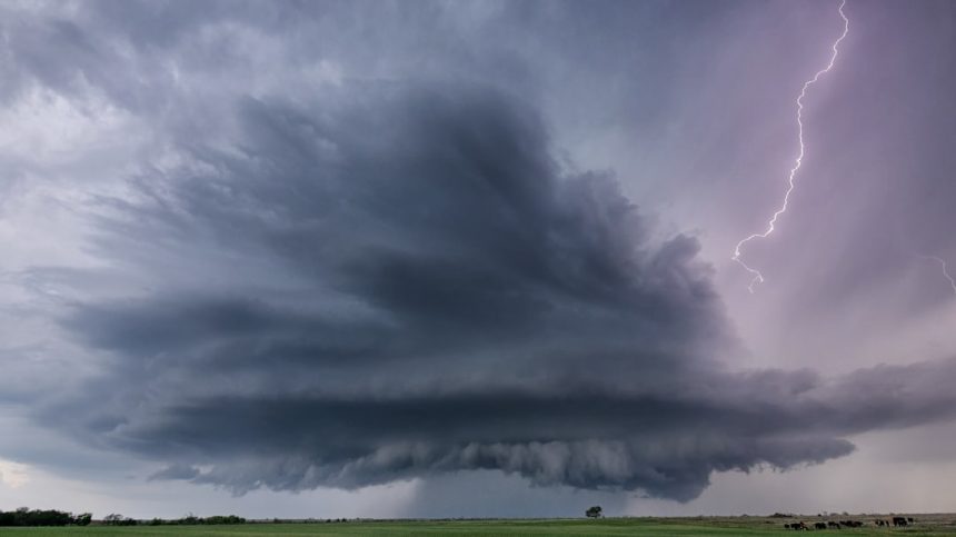
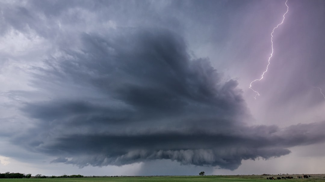
DAY 1 SLIGHT SEVERE WEATHER RISK CENTERED OVER ARKANSAS AND EXTENDING FROM NORTHEAST TEXAS INTO WESTERN TENNESSEE…FORECAST SYNOPSIS…ISSUED MAY 05, 2026…11:45 A.M. EDT – Image for illustrative purposes only (Image credits: Unsplash)
Arkansas – The Storm Prediction Center issued its Day 1 outlook on May 5, 2026, at 11:45 a.m. EDT, pinpointing a slight risk of severe thunderstorms centered over Arkansas and stretching from northeast Texas into western Tennessee. This forecast highlights the potential for widely scattered storms Tuesday afternoon through night, driven by a mix of moderate instability and strong wind shear. Residents in the region should prepare for possible disruptions as the primary hazards include large hail, damaging winds, and isolated tornadoes.
Core Details of the SPC Outlook
The slight risk area captures a broad swath where storms could develop discretely amid modest frontal convergence. Afternoon temperatures in the low 80s combined with dewpoints in the mid-60s promise moderate buoyancy, with most-unstable CAPE values around 1,500 to 2,000 J/kg. Large-scale height rises and potential weak capping introduce some uncertainty, particularly on storm coverage, but any cells that form stand ready to intensify quickly.
Strong upper-level flow supports bulk shear near 60 knots, favoring supercell development. Storms may transition into clusters later, shifting the main threat toward damaging winds. Isolated activity also appears possible farther northeast, though coverage there remains more sporadic.
Key Hazards and Probability Maps
Large to very large hail emerges as a leading concern, with a 15 percent hatched probability for two-inch or larger stones within the risk zone. Damaging wind gusts of 50 knots or higher carry similar odds, while tornado potential reaches five percent, including a hatched area over Arkansas for EF2 or stronger twisters. These probabilities stem from integrated models like the NAM 3km, HRRR, and SPC SREF guidance.
Partner offer
- Tornado: 5% probability within 25 miles, with hatched 10% for EF2+ over central Arkansas to western Tennessee.
- Hail: 15% for one-inch or larger, hatched for 2+ inches.
- Damaging winds: Notable gusts up to 65 knots in stronger storms.
Supporting Atmospheric Indices
Forecasters noted steep mid-level lapse rates of 7 to 8 degrees Celsius per kilometer, alongside dewpoints from 65 to 73 degrees Fahrenheit. Shear metrics impress with 0-6 km values of 60 to 65 knots and effective shear around 50 to 60 knots. Composite parameters like supercell composite (SCP) from 1 to 12 and significant tornado parameter (STP) of 0.5 to 2.2 signal environments ripe for rotating updrafts.
Energy helicity indices range from 1.4 to 5.3 for supercells and 0.8 to 3.7 for tornadic potential, calculated using MLCAPE and storm-relative helicity layers. Other markers include lifted indices of -3 to -8, total totals around 56, and K-indices from 26 to 34. These align with marginally to moderately unstable conditions, peaking late afternoon into evening.
Broader Context and Preparation Steps
Day 2 and 3 outlooks extend slight and marginal risks into Wednesday and Thursday, underscoring a multi-day pattern. Excessive rainfall and river flood outlooks accompany the severe potential, warranting vigilance across the Mid-South. Model animations place peak convection slightly south of the outlined area at times, but timing holds steady for late-day peaks.
Local National Weather Service offices provide radar loops, watch/warning maps, and mesoscale discussions for real-time shifts. Resources like the SPC homepage at spc.noaa.gov/classic.html and environmental indices explanations at weather.gov/lmk/indices offer deeper dives. Communities should secure outdoor items and identify shelter options ahead of any warnings.
This setup underscores the value of heeding official guidance from the National Weather Service and emergency management as conditions evolve.
Partner offer
Planning a trip to Vegas?
Compare hotel rates and show tickets on VEGAS.com.