
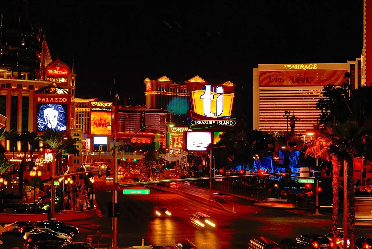
Every Las Vegas driver has been there. Traffic on I-15 is crawling, the GPS is recalculating for the third time, and someone in the car suggests cutting through Sahara Avenue. It sounds logical on paper. The road runs east-west across the valley, it connects directly to the freeway, and it’s a real street rather than a mapping app fever dream. Whether it actually saves you time, though, is a more complicated question than it first appears.
The honest answer depends heavily on when you’re driving, what’s happening on the corridor, and what you define as “better.” Here’s a grounded look at the full picture.
Why Drivers Look for an Escape Route in the First Place
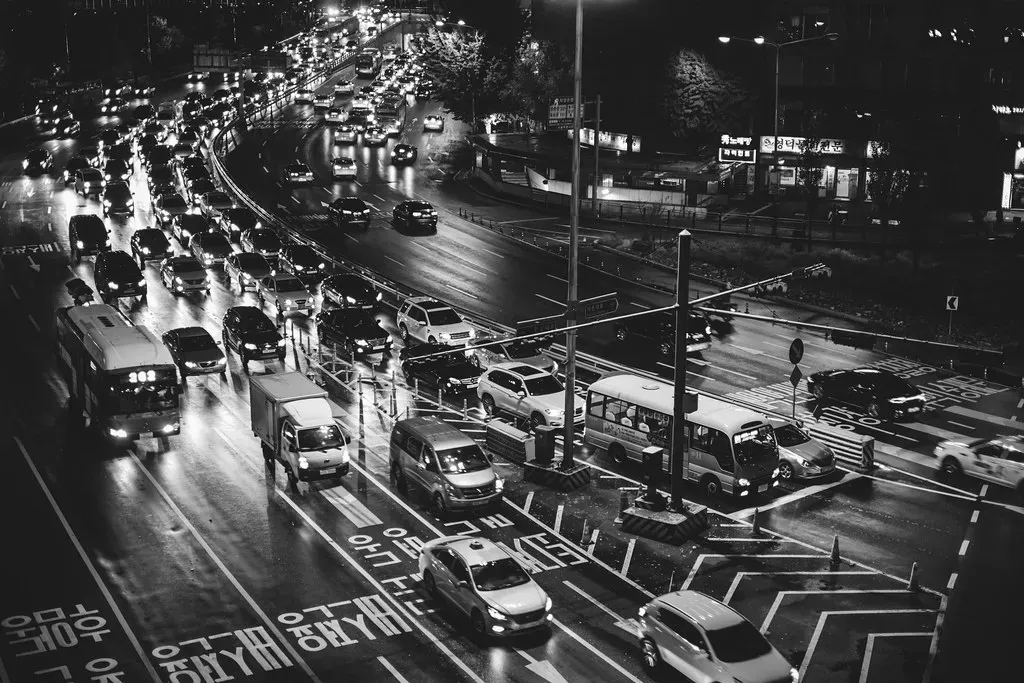
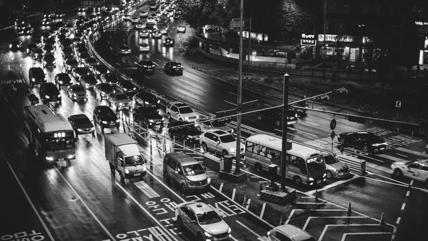
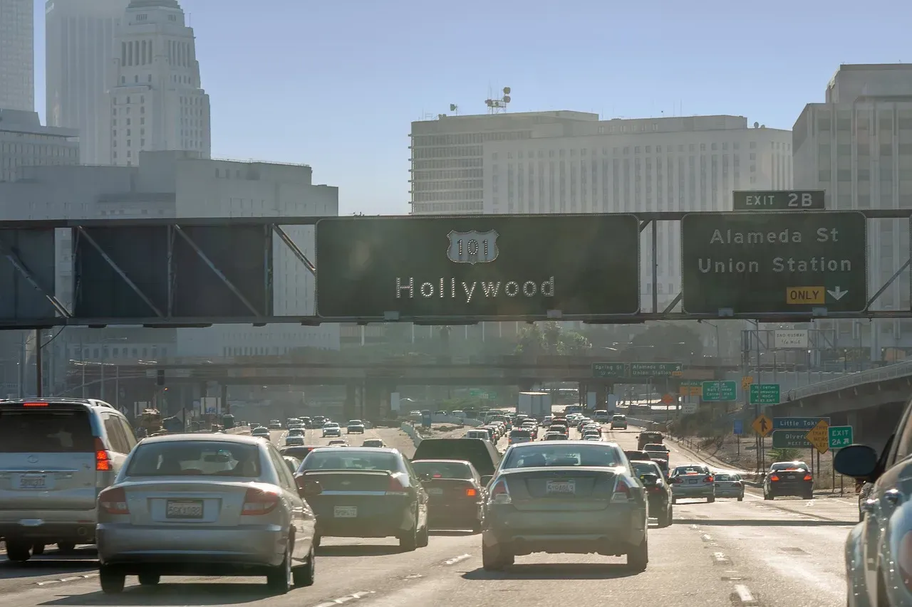
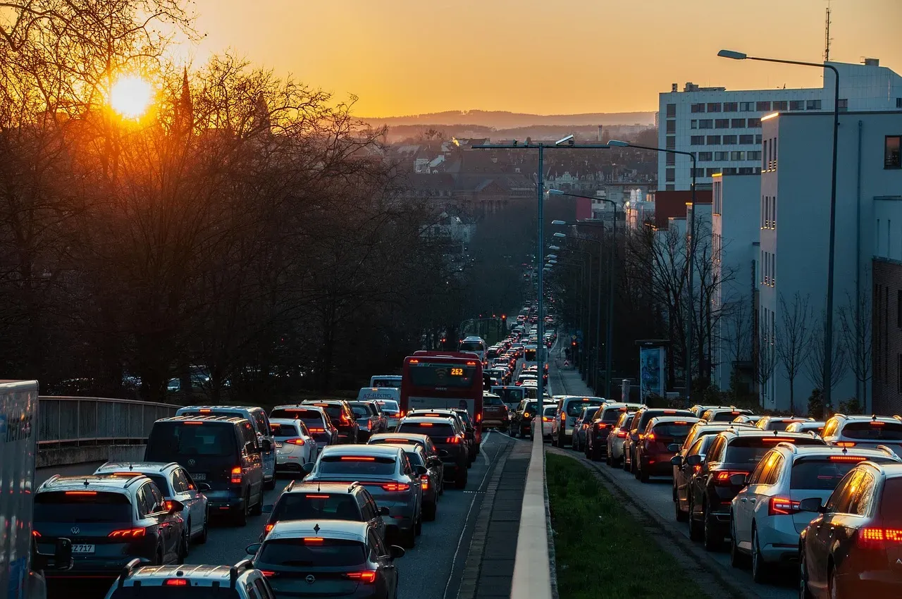
According to NDOT data, nearly 300,000 vehicles travel I-15 daily, a volume that strains the freeway at virtually every hour. That’s not just rush hour congestion. It’s a sustained daily pressure on a corridor that has been under construction, widened, redesigned, and patched for more than a decade.
I-15 is often congested during weekends, holidays, and major events, especially between the Spaghetti Bowl interchange and the Strip area. Las Vegas hosts the Formula One Grand Prix, major boxing matches, NFL games at Allegiant Stadium, and a near-constant calendar of conventions. Each one can send I-15 into a slow-motion standstill that makes any parallel route feel worth trying.
On average throughout 2023, it took Las Vegas drivers 12 minutes and 33 seconds to drive a typical 6-mile trip. For a typical 6-mile commute driven twice a day during morning and evening rush hours, Las Vegas commuters spent 110 hours driving, of which 31 hours were due to congestion. That’s a meaningful number for anyone who uses these roads daily.
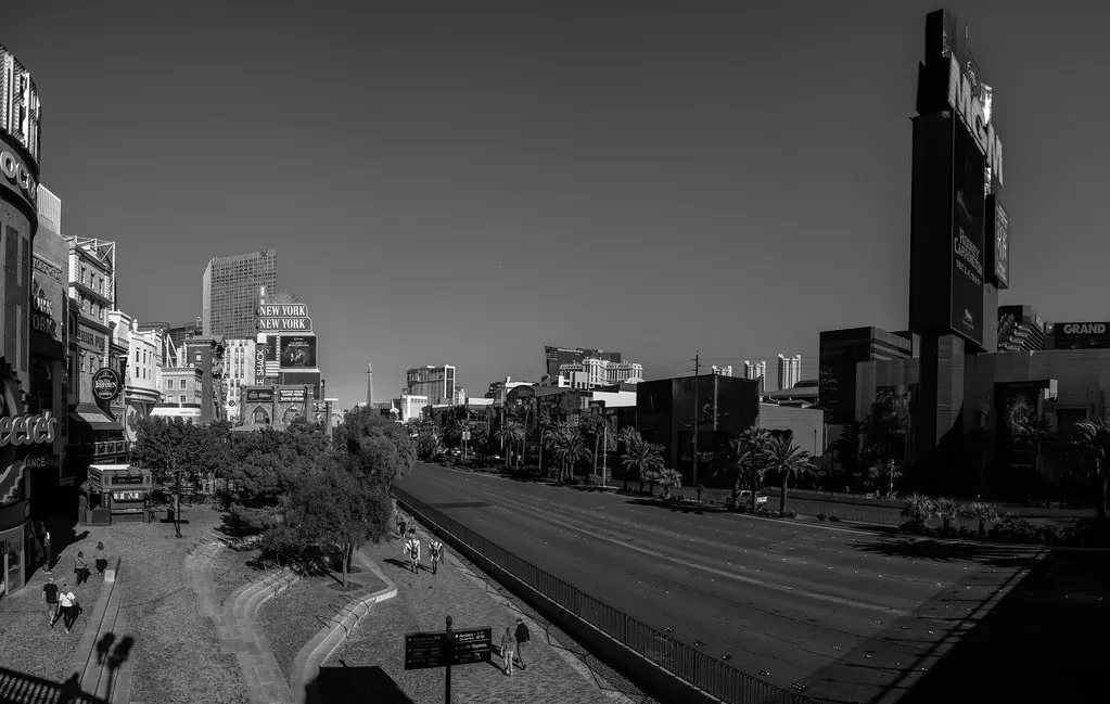
The Sahara Avenue Corridor: What It Actually Looks Like
The Sahara Avenue Safety Enhancement Project covers a project area located within the City of Las Vegas and Clark County, extending from Rainbow Boulevard to I-15, approximately 4 miles. That’s the stretch most drivers consider when they think about using Sahara as an alternate route. It sounds manageable.
The road does what it promises structurally: it connects the west side of the valley to the I-15 interchange. Clark County and the City of Las Vegas updated traffic signals in the project area and centered traffic signals over each lane in key areas to improve visibility. Signal upgrades completed as part of that safety enhancement project represent a genuine improvement to the corridor.
Still, improvements to signals don’t eliminate the fundamental issue. Sahara Avenue is a surface street, which means it stops. It yields. It waits. The experience is categorically different from a controlled-access freeway, even a congested one.
The Accident Problem That Has Followed This Corridor for Years
During a two-month period, 140 accidents occurred on Las Vegas freeways, and roughly 38 percent were on I-15 at or near Sahara. Of those collisions, 87 percent happened in the northbound lanes. That historical pattern around the Sahara interchange is not a coincidence.
The Spring Mountain Road on-ramp to I-15 north feeds directly into the off-ramp lane leading to Sahara. At the same time, express lanes are ending and vehicles are making their way toward upcoming exits. It becomes, essentially, a merge situation with limited room for error.
Motorists turning east on Sahara have difficulty seeing oncoming traffic because the street is more sharply angled than a traditional 90-degree intersection. Motorists inevitably pull out and hit their brakes when they finally see oncoming vehicles. That design issue compounds the stress of already heavy traffic.
What the Numbers Say About Las Vegas Roads Overall
Las Vegas records more than 20,000 reported traffic accidents each year, representing about 43 percent of Nevada’s total crashes. This concentration reflects the city’s heavy tourism, dense population, and high-speed corridors, making Las Vegas the most collision-prone metro area in the state.
National Highway Traffic Safety Administration data show 36 percent of U.S. crashes occur at intersections, and Las Vegas follows the same pattern. Surface streets like Sahara Avenue, with multiple signalized intersections along the bypass stretch, sit squarely in that high-risk category.
The average congestion level in Las Vegas sits at 34.1 percent, which is 6.6 percentage points higher than in 2024. The worst day to travel in 2025 was November 7, a Friday, when congestion reached 57 percent and the average congestion level at 5 p.m. hit 124 percent. On days like that, no surface street escape truly escapes.
The Traffic Signal Reality on Sahara
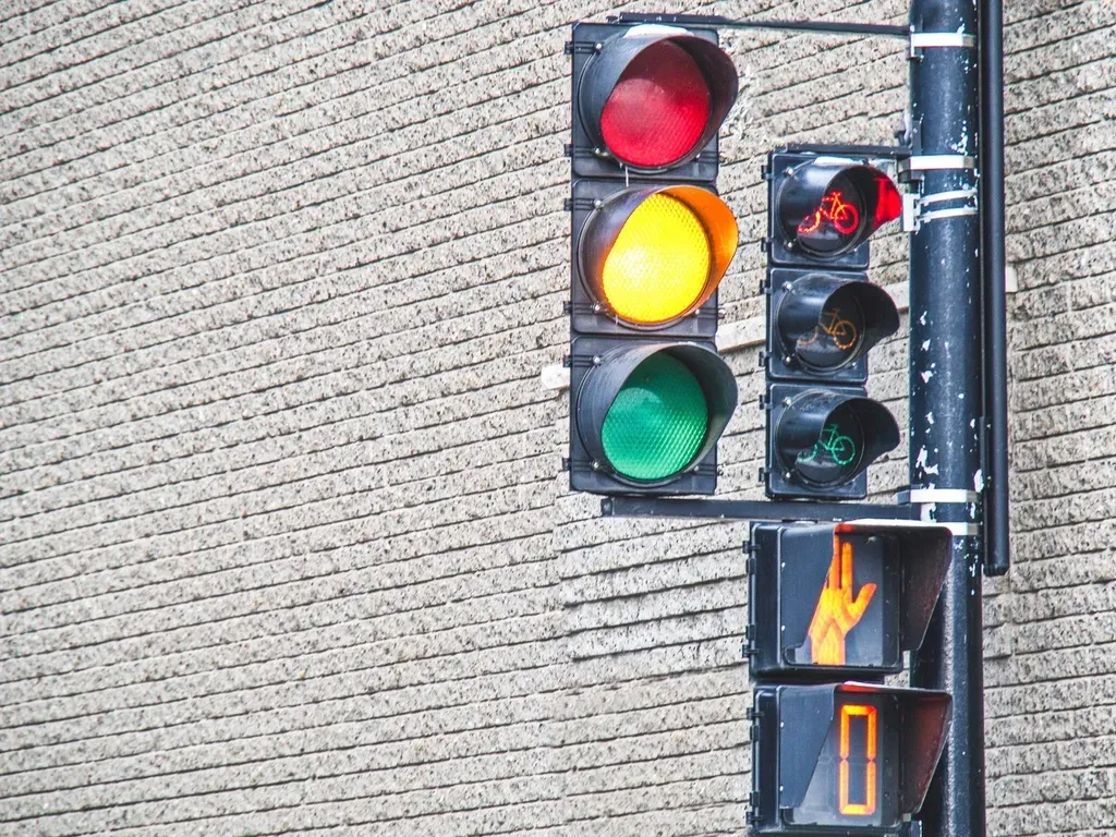
Clark County is home to more than 1,600 signalized intersections, according to the Regional Transportation Commission of Southern Nevada. Sahara Avenue passes through a meaningful share of them along its 4-mile bypass stretch. Each red light is time that doesn’t count toward forward progress.
The city has invested in signal coordination across major corridors, and Sahara Avenue has benefited from that work. Median modifications to manage access occurred at Sahara West Village and west of Arenas Street, including the elimination of left turns out of cross streets and driveways onto Sahara for enhanced safety, along with added right-in and right-out turns at cross streets and driveways.
The practical effect is a corridor that flows better than it once did, but still cannot match a freeway’s throughput when conditions are stable. Where Sahara earns its value is when I-15 is a near-complete standstill and signal timing on Sahara is working in your favor.
When Sahara Is Genuinely Useful
There are real scenarios where routing through Sahara Avenue makes sense. If you’re dealing with a freeway shutdown, a major incident, or a blocked ramp, a surface street option becomes not just useful but necessary. On July 26, 2024, a truck carrying lithium batteries burned on I-15, closing the highway between Los Angeles and Las Vegas for more than 40 hours. The fire started on Friday, presenting a problem for anyone planning a weekend trip. In situations like that, alternate surface routes are the only option.
When special events or high tourist activity create traffic surges, dynamic signs can guide drivers to alternative routes or available parking, easing pressure on key roadways. In those moments, Sahara Avenue can serve as a legitimate pressure valve.
The key distinction is this: Sahara works as a situational escape, not as a reliable daily shortcut. Drivers who treat it as a default bypass without checking conditions first will often find themselves trading one kind of stuck for another.
The Bigger Picture: A Freeway Under Constant Construction
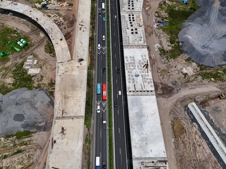
2025 saw the completion of major Nevada Department of Transportation projects along the I-15, with the Tropicana interchange and widening of the freeway. 2026 will see the continuation of other projects throughout the valley. The construction reality has pushed drivers toward surface streets repeatedly over the past several years, making Sahara Avenue a familiar name on detour maps.
The next portion set to be widened is the stretch between Flamingo Road and Sahara Avenue, known as the I-15 Central Corridor. An environmental study along the corridor kicked off in spring 2023 and is expected to be completed by 2028. That study means the mid-Strip section of I-15 remains a bottleneck without a near-term fix.
There is no timetable for when work on I-15 between Flamingo and Sahara could begin. Until that central segment is addressed, the pinch point that sends drivers scrambling for alternatives will remain exactly where it is.
Tourism Volume Keeps the Pressure On
From January to September 2024, Las Vegas welcomed approximately 31.4 million visitors, marking a 2.9 percent year-over-year increase compared to the same period in 2023. Those visitors don’t vanish when they arrive. They rent cars, hail rideshares, and crowd the same corridors that locals use every day.
About a third of all Las Vegas visitors come from Southern California, according to the 2024 Las Vegas Perspective produced by the Las Vegas Convention and Visitors Authority. A significant portion of those visitors arrive by car on I-15 itself, adding to the very congestion that makes a bypass seem appealing.
Tourists face a higher accident risk linked to road unfamiliarity and elevated rental car crash rates. An unfamiliar driver attempting to navigate Sahara Avenue during a busy event weekend introduces an additional safety variable that locals might not fully account for when making the detour recommendation.
What NDOT and Local Agencies Are Doing About It
More than 40 dynamic freeway signs, also called traffic management signs, were recently installed along I-15 and Highway 95 in Las Vegas. These automated signs provide real-time information to drivers to reduce traffic congestion and improve road safety. The investment in real-time traffic management signals that authorities are aware the freeway alone cannot absorb current and future demand.
The $31 million I-11 Tech Corridor project is set to kick off this year on a 5-mile stretch of freeway between the Spaghetti Bowl and Summerlin Parkway. The project is a collaboration between the Nevada Department of Transportation, the Regional Transportation Commission, the Nevada State Police and Clark County.
Planned improvements include active traffic management signage for lane management and variable speed limits, wrong-way driver detection systems with flashing beacons, strategic traffic management sites that include posted messages and areas that law enforcement officers can stage at key locations, and Intelligent Traffic System technology, which includes signage, road sensors, weather stations and traffic cameras. These are real infrastructure commitments, though their benefits will take time to materialize fully.
The Honest Verdict on Using Sahara as a Bypass

Sahara Avenue is not a shortcut in the traditional sense. It does not consistently shave time off a trip. What it offers is optionality, a different kind of stuck that occasionally, under specific conditions, resolves faster than freeway gridlock.
Traffic through the 3.7-mile corridor between Sahara Avenue and the Spaghetti Bowl interchange is expected to double in the next 15 years. That projection makes the current situation look mild by comparison. The surface street alternatives around I-15 will face increasing demand no matter what improvements are made to Sahara Avenue itself.
The most practical advice is straightforward: use Nevada’s 511 system or a real-time mapping app before committing to Sahara as an escape. You can visit www.nvroads.com or dial 511 for updated road conditions and closures. A tool that takes 30 seconds to check can be the difference between saving 10 minutes and losing 20.
In the end, Sahara Avenue is neither magic shortcut nor guaranteed trap. It’s a real road in a city that has grown far faster than its road network, trying to do a job it was never fully designed for. The drivers who use it smartly treat it as a conditional option, not a default. That distinction, modest as it sounds, is exactly what separates a frustrating detour from a reasonable one.


