
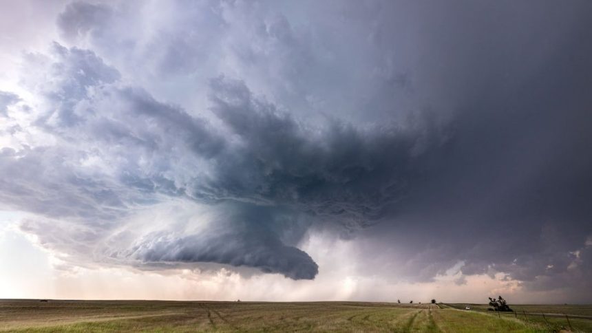

Today's Tornado Risk – Image for illustrative purposes only (Image credits: Unsplash)
Residents across parts of Oklahoma, Texas, and Tennessee braced for severe weather as forecasters highlighted significant tornado risks in targeted zones. Brown-shaded areas on risk maps signal heightened dangers, while overlaid hatching points to the possibility of strong tornadoes forming. Communities in these regions prepared for potential disruptions, staying alert to rapidly changing conditions.
Risk Maps Signal Urgent Warnings
Weather maps displayed brown areas to denote significant tornado probabilities, a designation reserved for the most concerning scenarios. This coloring drew immediate attention from local authorities and emergency services. The hatching within these zones further elevated concerns, indicating that any tornadoes could pack considerable strength.
Such visual cues helped residents and officials prioritize preparations. Forecasters emphasized the need for vigilance, as conditions evolved quickly throughout the day.
Cities Facing the Greatest Danger
Several specific locations fell squarely within the significant risk boundaries. In Oklahoma, Idabel stood out as a focal point. Texas saw Paris included in the high-threat area, while Tennessee’s risks encompassed Dyersburg and Memphis.
These cities, with their mix of urban and rural landscapes, faced varying vulnerabilities. Memphis, in particular, drew scrutiny due to its population density. Officials urged those in affected spots to monitor updates closely.
- Idabel, Oklahoma: Core of the brown risk zone.
- Paris, Texas: Significant threat inclusion.
- Dyersburg, Tennessee: High-risk designation.
- Memphis, Tennessee: Potential for strong impacts.
Implications of Strong Tornado Potential
The hatching overlay carried weighty implications, suggesting tornadoes capable of EF-2 or higher damage. Such storms often feature winds exceeding 110 mph, capable of uprooting trees and damaging structures. Past events in similar setups underscored the real hazards to life and property.
Even brief touchdowns could cause widespread power outages and road closures. Recovery efforts in these areas typically demanded coordinated responses from state and federal agencies.
Staying Informed Amid Limited Coverage
Traditional real-time updates faced constraints, with some sources pausing continuous Twitter/X feeds for the day. This shift prompted reliance on official channels like the National Weather Service and local broadcasters. Apps and radar tools became essential for tracking storm paths.
Communities adapted by tuning into radio alerts and community networks. The emphasis remained on proactive measures, from securing outdoor items to identifying safe rooms. As the day progressed, the human cost of inaction loomed large, reminding everyone of weather’s unpredictable toll.


