

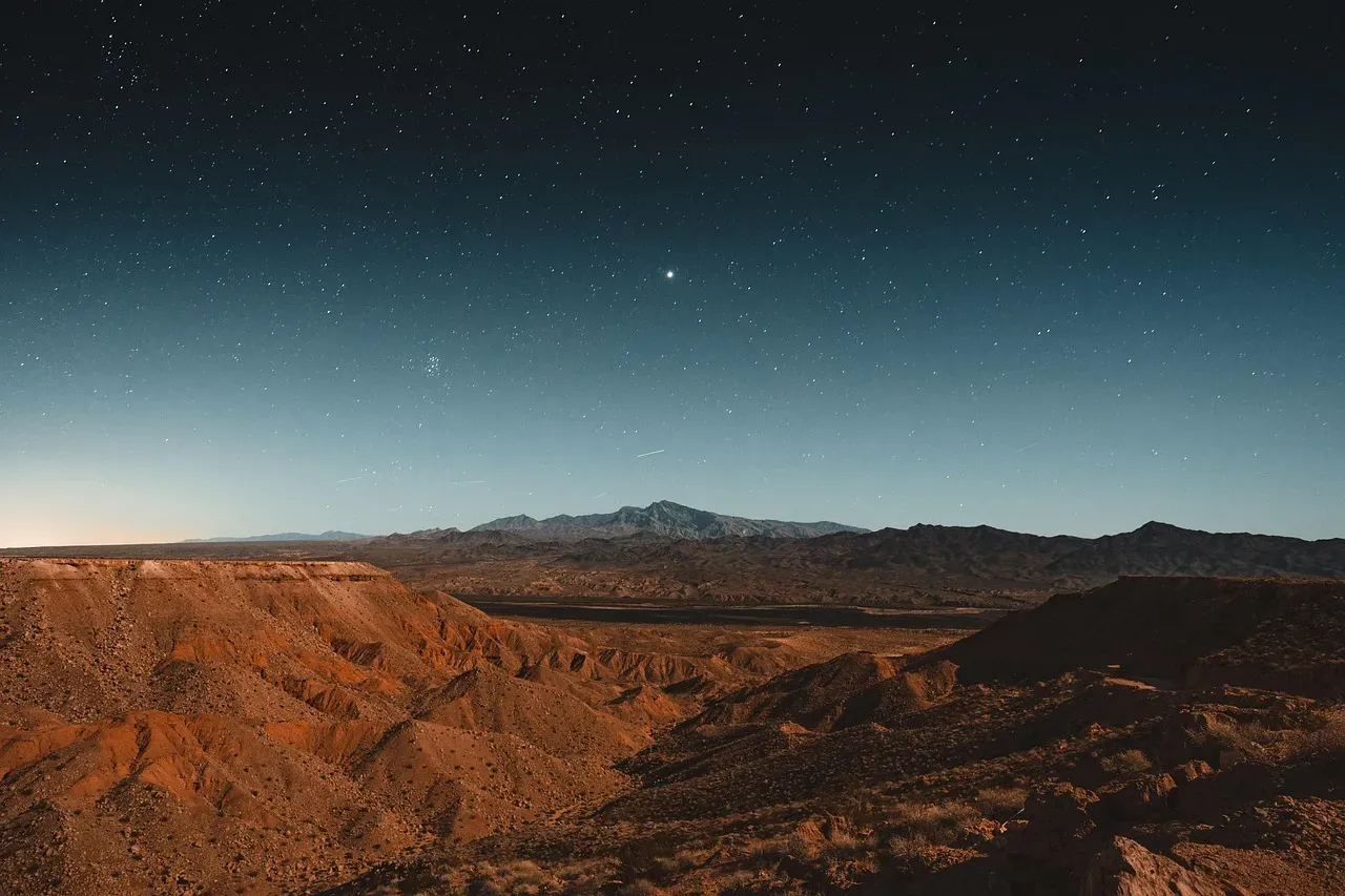
In the high desert of central Nevada, the ground has been restless. Since late February 2026, the region northeast of Tonopah has been rattling almost continuously, drawing the attention of seismologists, USGS monitors, and more than a few curious residents. The shaking is not imagined, and it is not isolated.
What’s unfolding here taps into something deeper than a single fault line. It connects geology that has been building for millions of years, a seismic history that stretches back over a century, and a monitoring network that is now better equipped to catch what the desert floor has always been doing. The picture that emerges is both ancient and urgent.
A Swarm Arrives in the Desert
A swarm of small earthquakes began shaking the desert northeast of Tonopah, Nevada, in late February 2026, with nearly a hundred shallow events recorded by the U.S. Geological Survey through early March. The activity didn’t announce itself with a single dramatic jolt. It built quietly, event by event, the way these sequences tend to do in this part of the American West.
According to the USGS and the Nevada Seismological Laboratory, nearly 100 earthquakes had been recorded by early March, most between magnitudes 1.5 and 3.0, with a few reaching above M3.5. The largest event so far was a M4.3 at a depth of 11 km.
The swarm concentrated in central Nevada, about 75 to 90 km northeast of Tonopah in Nye County. For a region already known for its seismic personality, this was still notable.
What Makes Tonopah Different

Based on data from the past 56 years and earthquake archives going back to 1900, there are about 5,000 quakes on average per year in or near Tonopah. That breaks down to roughly one magnitude 6 or higher every 42 years, a magnitude 5 or higher every 4.5 years, and about 9 magnitude 4 or higher events each year.
Tonopah has a high level of seismic activity and has had at least 3 quakes above magnitude 6 since 1900, suggesting that larger earthquakes of this size occur on average roughly every 40 to 45 years. Those are not small numbers for a small desert town.
The geology of the Central Nevada Seismic Zone accounts for swarms like this one without needing any human involvement. Nevada shakes regularly, and Tonopah sits in a region primed for exactly the kind of clustered seismic activity that appeared on USGS monitors.
The Geology Behind the Shaking
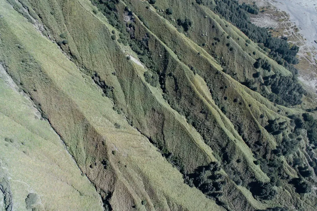
The state of Nevada sits within a geologic province known as the Basin and Range. This region of the North American continent is rifting apart in a northwest-southeast direction, and extension of the crust has resulted in a topography dominated by dip-slip normal faults accommodating that extension.
Geologists estimate that extension has doubled the original width of the central Basin and Range, meaning the distance between its eastern and western edges has increased by more than 100 miles since roughly 17 million years ago. That is an ongoing process. It has not stopped.
Within the region, deformation zones coincide with areas of modern seismicity, including extension normal to and strike-slip motion across the Central Nevada Seismic Zone, and right lateral simple shear inside the Walker Lane Belt. Tonopah sits right in the middle of this tectonic crossfire.
A Newly Discovered Fault
One of the more striking revelations from the 2026 swarm was what it uncovered beneath the desert surface. What stood out to researchers is the fault involved. The earthquakes are occurring along a fault stretching along the southern edge of the Monitor and Antelope ranges, and it was previously unknown to scientists.
A magnitude 4.0 quake hit near Warm Springs during the sequence, and seismologists noted the activity as typical for Nevada, where clusters of earthquakes can flare up in a concentrated area. Typical, but still genuinely informative. The discovery of a previously unmapped fault reminds researchers how much remains unknown about Nevada’s underground architecture.
Scientists describe the pattern as a tectonic swarm, a sequence of many similar-sized quakes without a single mainshock. Earthquake swarms release local strain gradually and are common in western Nevada, which ranks among the most seismically active parts of the continental United States.
How the 2020 Monte Cristo Earthquake Set the Stage

The Tonopah cluster doesn’t exist in a vacuum. It follows a period of heightened regional seismicity that began in earnest with a major earthquake just a few years prior. On May 15, 2020, a magnitude 6.5 earthquake struck western Nevada approximately 55 km west of the city of Tonopah, near the California-Nevada border, and it was widely felt across Nevada and central California.
With a moment magnitude of 6.5, it was the largest earthquake in Nevada since the 1954 Dixie Valley earthquake sequence, which was associated with normal and right-oblique faulting northeast of the Walker Lane. The aftershock sequence that followed was immense.
On May 15, 2020, the 6.5 earthquake occurred beneath the Monte Cristo Range in the Mina Deflection region of western Nevada. Rapid deployment of eight temporary seismic stations enabled detailed analysis of the productive and slowly decaying aftershock sequence, which included roughly 18,000 autodetected events in just 3.5 months. Earthquake relocation revealed a complex network of faults, many of which cross the inferred 35-km-long mainshock rupture.
Nevada’s Rank Among Seismically Active States

Most people think of California when they think about earthquakes in the American West. Nevada rarely enters that conversation. The data tells a different story.
In western Nevada, along the border with California, faulting mechanisms are dominantly strike-slip along a shear zone known as the Walker Lane. These faults also cause earthquakes to rattle the state, making Nevada the third most seismically active state in the United States, behind Alaska and California.
Based on data from the past 56 years and earthquake archives back to 1900, there are about 9,500 quakes on average per year in or near Nevada. That includes roughly one magnitude 7 or higher every 18 years, one magnitude 6 or higher every two years, and about 3.6 magnitude 5 or higher events each year. Those numbers put Nevada’s seismic profile in sharp relief.
The Monitoring Gap That Worries Scientists
Even as the desert keeps shaking, Nevada faces a meaningful vulnerability that most residents don’t know about. Nevada lacks a key seismic safety tool that California, Oregon, and Washington all have: the earthquake early warning system run by the USGS, which sends alerts to smartphones or computers before the shaking starts.
Congress has allocated money to the USGS to implement that system in Nevada, but more funds are needed to build it out. Budgetary cuts to the USGS and hiring freezes have made efforts to expand the earthquake early-warning system particularly challenging.
Notably, seismic sensors from Nevada are available to help warn Californians that a huge Las Vegas quake has begun and that incoming shaking is seconds away. The irony, as the Nevada Seismological Laboratory’s director has pointed out, is that Californians who would be affected by a Las Vegas-area earthquake would receive warnings while Nevadans would not.
What the Swarm Looked Like from the Ground

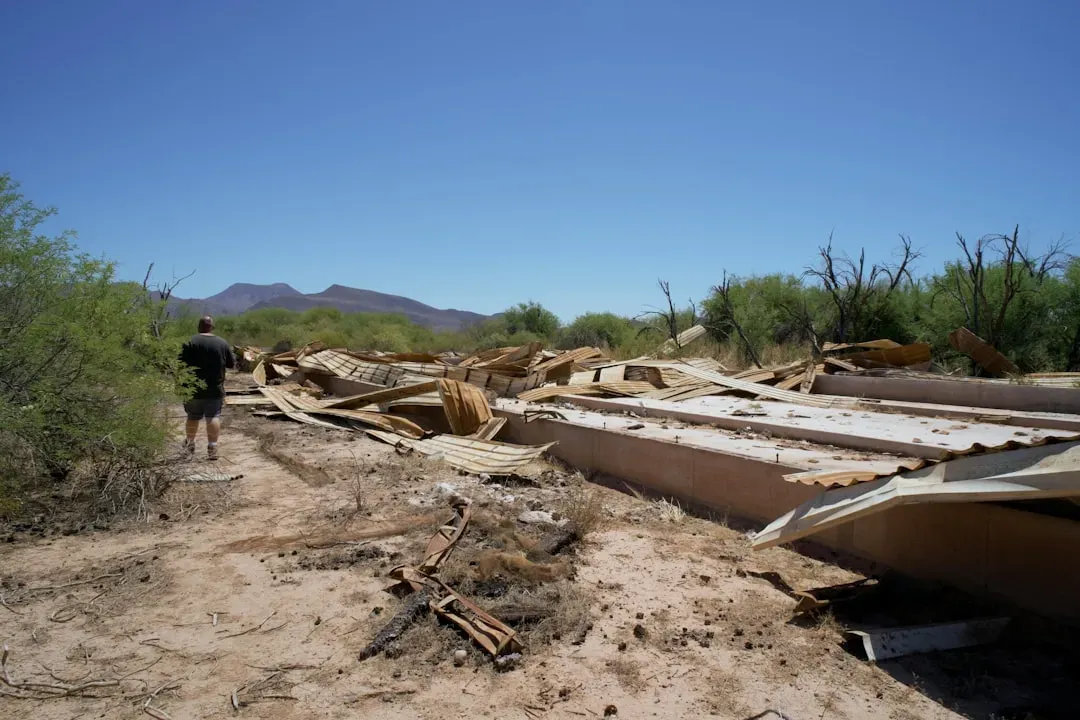
The USGS ShakeMap for the M4.3 event indicates light shaking of intensity III to IV felt across Tonopah and nearby desert communities. No structural damage, injuries, or service interruptions were reported. Regional networks continued to detect low-magnitude aftershocks at a slowly declining rate.
By May 2026, the northeast Tonopah corridor continued producing events. A moderate magnitude 4.5 earthquake hit about 48 miles northeast of Tonopah in the late afternoon of May 4, 2026. The quake was felt by many near the epicenter.
That shaking came amid a broader increase in seismic activity across the state, including a 5.2-magnitude quake about 12 miles from Silver Springs on May 1, 2026. The central Nevada desert was clearly not finished moving.
The Question of Human Causes
Any prolonged swarm near Tonopah is bound to generate speculation, given the presence of the Tonopah Test Range nearby. Speculation about links to nearby military installations resurfaced on social media after the initial M4.3 quake. Both the USGS and independent academic seismologists stated that the seismic waveforms, depths, and geographic pattern confirm a natural origin unrelated to military or industrial activity. The area lies roughly 80 km from the Tonopah Test Range, but the quake depths and distribution rule out human sources.
Nevada is among the most seismically active states in the country, crisscrossed by faults linked to the Basin and Range geological province, where the Earth’s crust is slowly stretching and breaking apart. Earthquakes are relatively common in the region and are typically driven by natural stress changes underground, according to seismologists.
The geology is simply doing what it has always done. Human imagination tends to seek other explanations, but the rock record here is persuasive on its own terms.
Nevada’s Larger Seismic Risk Picture
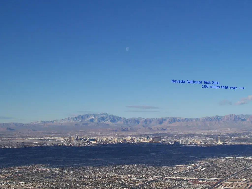
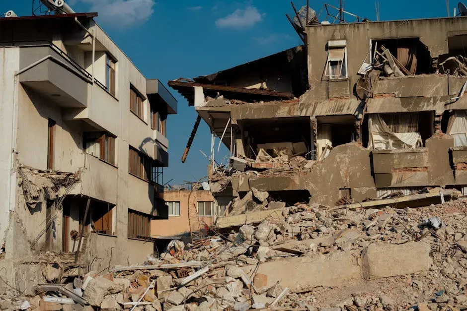
The Tonopah cluster is striking, but it fits into a much larger story about what Nevada faces over the coming decades. Perhaps less well-known is that Las Vegas is surrounded on all sides by faults, which might come as a surprise since a damaging earthquake hasn’t hit the city in its modern history. A hypothetical magnitude 7 earthquake near Las Vegas could cause about $21 billion in damage, ripping through vulnerable buildings and infrastructure, according to the Nevada Bureau of Mines and Geology.
From the 1850s to the 1950s, there were 22 earthquakes of magnitude 6 or greater in Nevada. In 2020, there was a magnitude 6.5 earthquake in Nevada, in a remote spot about 200 miles northwest of Las Vegas. A long quiet period is not the same as permanent quiet.
Nevada fault lines appear to be increasingly active, with 2026 activity running notably above the 2020-2025 mean, possibly from Basin and Range pull-apart tectonics. The central Nevada desert is communicating something. The question now is how well the monitoring infrastructure can keep up with what the ground is saying.
What Comes Next
Experts have noted that the swarm is worth monitoring but is not cause for alarm. They note that earthquakes like the 5.8 that hit near Yerington in December 2024 typically happen in Nevada about every eight to ten years, and they are continuing to monitor the current activity closely.
Local seismologists emphasize that the swarm’s characteristics are consistent with natural fault movement, and they note that similar clusters have occurred repeatedly in the state, including the Monte Cristo Range M6.5 sequence of 2020 and the Hawthorne swarm of 2011. These are not anomalies. They are chapters in an ongoing story.
The Monte Cristo Range earthquake suggests that new approaches to seismic hazard assessment may be required for earthquakes in rapidly evolving tectonic regions such as the Walker Lane and Eastern California shear zone. That insight applies directly to the Tonopah area. The desert has been here for millions of years. It is still being made.
The Tonopah cluster is a reminder that the most dramatic geological forces on Earth don’t always announce themselves with catastrophe. Sometimes they arrive in long, patient sequences of small tremors, accumulating on faults that weren’t even on any map until the ground decided to reveal them.


