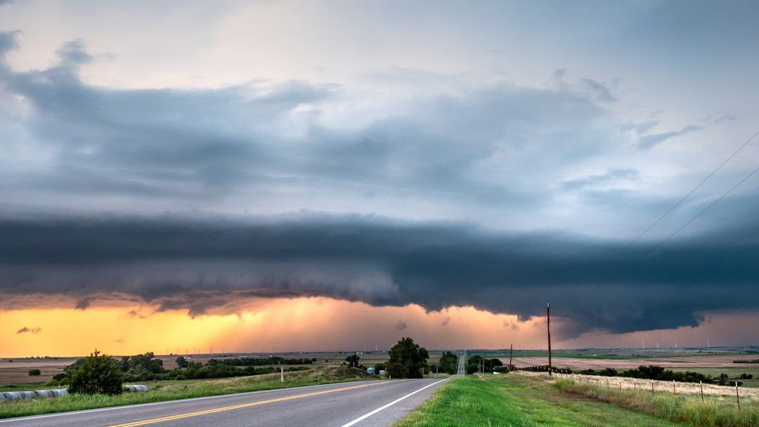

6:00 AM | *Chance of showers on Saturday…maybe a PM thunderstorm…another shot at showers on Sunday night/Monday and next mid-week* – Image for illustrative purposes only (Image credits: Unsplash)
New York City – After a dry close to the work week, the metro region is set to experience a shift toward more unsettled conditions that will stretch from Saturday through at least midweek. The change brings a mix of clouds, breezy winds, and scattered precipitation that could disrupt outdoor plans. Forecasters note the pattern will include isolated thunderstorm potential on Saturday and a stronger chance of rain from Sunday night into Monday.
Today’s Mild Finish Gives Way to Change
The current day features sun giving way to increasing clouds along with breezy conditions. High temperatures are expected to reach the middle 60s under west-southwest winds that will strengthen to 10 to 20 mph. Overnight, skies turn mainly cloudy with a chance of showers developing late and lows holding near 50 degrees.
This setup marks the last stretch of relatively stable weather before the incoming systems arrive. Residents may notice the wind picking up through the afternoon, adding a noticeable chill despite the mild readings.
Saturday Brings the First Round of Showers
Cloud cover will dominate on Saturday with breezy and mild conditions continuing. A chance of showers is in the forecast, and an isolated thunderstorm cannot be ruled out during the afternoon hours. Highs will again settle in the middle 60s.
By Saturday night the sky remains mostly cloudy early with a possible shower, then trends partly cloudy later. Temperatures drop to around 50 degrees by late evening, creating cooler conditions for any remaining outdoor activities.
Sunday Offers a Brief Respite Before More Rain
Sunday starts with sun before clouds build later in the day, delivering comfortably warm readings in the mid to upper 70s. This window aligns with Mother’s Day and should provide the most pleasant stretch of the period for many families.
Showers are expected to arrive by nightfall, setting the stage for continued unsettled weather. The timing allows for a decent daytime window before the next system moves in.
Early Week and Midweek Rain Threats
Monday turns mainly cloudy and cooler with a chance of showers and highs near 60 degrees. Tuesday brings a return to mainly sunny skies and mild temperatures in the low to middle 60s.
Wednesday features partly sunny conditions that remain mild, though another chance of showers develops. The overall pattern points to repeated periods of precipitation through the middle of the week.
Broader Pattern Signals Continued Variability
The sequence of systems will keep the Mid-Atlantic region under an unsettled regime after the recent dry spell. Between the Saturday and Sunday night to Monday events, the brief improvement on Sunday stands out as the most favorable stretch for outdoor plans.
Another shower threat is projected to arrive by midweek, extending the run of variable weather. Residents should monitor updates as the systems evolve.