
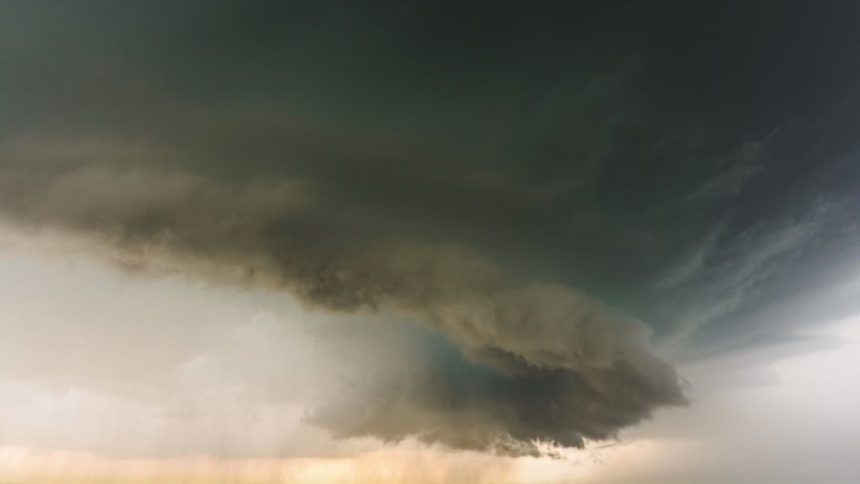
DAY 1 SLIGHT SEVERE WEATHER RISK FROM NORTHEAST KANSAS ACROSS NORTHERN/CENTRAL MISSOURI INTO WEST-CENTRAL ILLINOIS…FORECAST SYNOPSIS…ISSUED MAY 04, 2026…11:55 A.M. EDT – Image for illustrative purposes only (Image credits: Unsplash)
Northeast Kansas to West-Central Illinois — The Storm Prediction Center issued a Slight risk for severe thunderstorms on Monday, highlighting threats of large hail and damaging winds across a key Midwest corridor. Strong storms could develop this afternoon into tonight, fueled by a frontal boundary and warm air advection. Forecasters noted conditional risks extending into the central and southern Plains, where very large hail remains possible under the right conditions. Residents in the outlined areas should prepare for potential disruptions as shear and instability align.
Core Outlook from the Storm Prediction Center
The Day 1 outlook specifically targets northeast Kansas, stretching across northern and central Missouri into west-central Illinois. Thunderstorm activity is expected to initiate along a front extending through southern Wisconsin and eastern Iowa during the afternoon. Evening development along the front’s progression into eastern Kansas and northern Missouri promises the most robust storms, supported by enhanced shear and buoyancy.
Large hail emerges as the primary hazard in these zones. Storms ahead of the front, particularly from northeast Illinois northward into southern Lower Michigan, could produce isolated stronger cells amid greater buoyancy and moderate shear. Upper-level flow may limit organization there, potentially leading to clustered storm modes rather than discrete supercells.
Primary Hazards and Probability Maps
Probabilities underscore hail as the leading concern, with a hatched area indicating at least a 10% chance of two-inch or larger hail within 25 miles of any point. Damaging wind gusts of 50 knots or higher carry notable odds across the risk zone, marked by a hatched region for 65-knot-plus potential. Tornado probabilities sit low at two percent overall, confined to Illinois through southern Michigan, with any spin-ups likely weak at EF0 to EF1 strength.
Visual probability maps from SPC delineate these risks clearly. Tornado probabilities feature a hatched zone for 10% or greater EF2-EF5 chances. Similar hatching highlights significant hail and wind threats, guiding local preparedness efforts.
Atmospheric Setup and Model Guidance
A moderately to very unstable atmosphere underpins the forecast, with surface-based CAPE values projected at 2000 to 3000 J/kg. Dewpoints from 52F to 63F will bolster buoyancy, while 0-6 km shear of 30 to 40 knots supports supercell potential. Storm-relative helicity values, including 0-3 km at 125 to 350 m2/s2, elevate updraft rotation risks.
Analyses from NAM 3km, HRRR 3km, CIPS deterministic, and SPC SREF models align on peak indices during late afternoon to early evening. Supercell composite parameters range from 3 to 8, with significant tornado parameters at 0.2 to 2.1. Effective helicity indices hit 0.4 to 4.4 for supercells and 0.5 to 0.6 for tornadic potential, though tornado odds remain marginal.
- SBCAPE: 2000–3000 J/kg
- MLCAPE: 500–2500 J/kg
- 0-1 km SRH: 50–150 m2/s2
- Lifted Index: -2 to -11
- K-Index: 22–34°C
Extended Threats and Monitoring Tools
Beyond the Slight risk core, a sharp dryline from central Kansas southwest into northwest Texas sets up isolated supercells. Ample deep-layer shear there favors large to very large hail early, transitioning to damaging downdrafts as mid-level dryness intrudes. Day 2 and 3 outlooks maintain Slight risks, with SPC’s four-to-eight-day view linked for updates.
Real-time tracking remains essential. Mesoscale discussions and convective watches update via SPC’s homepage. National Weather Service watch/warning maps and radar loops provide localized details, alongside excessive rainfall outlooks from WPC. For parameter explanations, consult NWS resources.
As convection ramps up, the interplay of instability and shear will dictate outcomes. Communities in the path stay vigilant, prioritizing shelter amid large hail warnings or wind advisories. Forecasters emphasize official NWS guidance for safety decisions in this evolving setup.


