
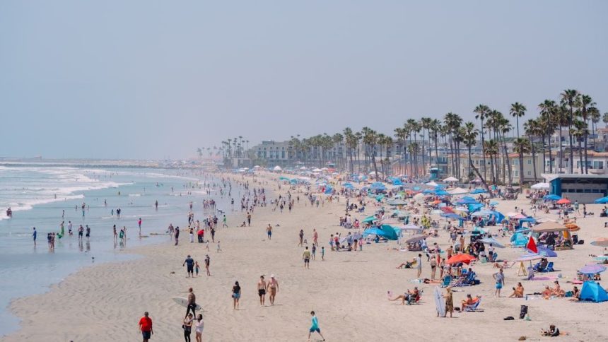

Significant warmup begins building across SoCal. Here’s how hot it will get – Image for illustrative purposes only (Image credits: Unsplash)
Southern California residents endured scattered showers on Tuesday, May 5, but those rains departed by Wednesday morning, paving the way for a pronounced warming trend.[1] High pressure now dominates, propelling temperatures upward by 10 to 20 degrees or more in select spots through the end of the week.[1] Inland valleys faced the prospect of 90-degree highs by Friday or Saturday, while coastal zones held steadier in the 70s.
Tuesday’s Showers Fade into History
The final remnants of a low-pressure system brought a 30 percent chance of on-again, off-again showers across much of the region on Tuesday. Not every location saw precipitation, but areas from Los Angeles to the Inland Empire reported light sprinkles amid cooler air.[1] Highs remained subdued, reflecting the lingering moisture.
Los Angeles and Orange counties topped out at 66 degrees Fahrenheit, with overnight lows dipping to 52 degrees. Valleys and the Inland Empire mirrored that at 67 degrees high and 51 low, while beaches hovered around 65 degrees. Mountain communities shivered through highs of just 45 degrees, and deserts managed 64 degrees, though Palm Springs pushed toward 77.[1]
Sunshine Sparks Wednesday’s Rebound
Clearer skies emerged on Wednesday, May 6, as the low-pressure influence exited completely. Sunshine returned region-wide, initiating the climb in mercury levels. Forecasters noted this shift as the first step in a multi-day warmup fueled by high pressure.
Beaches and coastal valleys began the day with patchy fog that burned off by midday, setting a comfortable tone. Inland spots felt the initial boost more acutely, shedding the chill from earlier in the week. No advisories accompanied the transition, allowing daily routines to proceed uninterrupted.[1]
Inland Areas Lead the Charge to 90s
By the close of the week, valleys and the Inland Empire stood poised to hit the 90s, a stark contrast to Tuesday’s mild readings. Desert regions similarly rebounded into the 80s and 90s, evoking early summer conditions. This surge marked one of the more rapid warmups observed in recent springs.
| Region | Tuesday High (°F) | End-of-Week High (°F) |
|---|---|---|
| Los Angeles/Orange Counties | 66 | Mid-70s (beaches) |
| Valleys/Inland Empire | 67 | 90s |
| Beaches | 65 | Mid-70s |
| Mountains | 45 | +25 degrees from Tuesday |
| Deserts | 64 | 80s-90s |
Mountain elevations experienced the most dramatic lift, with highs jumping 25 degrees between Tuesday and Thursday. Coastal moderation from sea breezes tempered the heat nearer the shore.[1]
Weekend Holds Promise of Continued Warmth
The warming trajectory extended into the weekend, sustaining above-average readings without tipping into excessive territory. Inland highs lingered in the upper 80s to low 90s, ideal for outdoor plans. High desert zones mirrored this pattern, peaking in the mid-80s through Saturday.[2]
Forecasters anticipated no major disruptions, though some models hinted at a slight cooling influence by Sunday from renewed onshore flow. Beaches maintained their appeal with highs in the 70s, drawing crowds seeking respite from interior heat.
This shift underscored the region’s variable spring weather, swinging quickly from wet to dry. As high pressure solidifies, Southern Californians can look forward to extended sunshine, though vigilance for any updates remains prudent amid the evolving pattern.


