


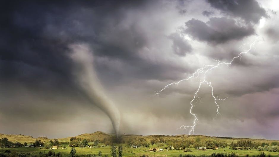
DAY 1 ENHANCED SEVERE WEATHER RISK ACROSS PARTS OF THE CENTRAL HIGH PLAINS AND A SLIGHT RISK ACROSS PARTS OF THE OHIO VALLEY…FORECAST SYNOPSIS…ISSUED MAY 16, 2026…11:45 A.M. EDT – Image for illustrative purposes only (Image credits: Pexels)
Central High Plains – The Storm Prediction Center outlined an enhanced risk of severe thunderstorms for parts of the central High Plains on May 16, with a slight risk extending into the Ohio Valley. The outlook, released at 11:45 a.m. EDT, pointed to afternoon and evening activity capable of producing large hail, damaging winds and isolated tornadoes. Forecasters noted that conditions could support an intense bowing cluster of storms moving eastward through southern Nebraska and northern Kansas.
Key Hazards in the Outlook
The primary threats include large to very large hail, severe wind gusts that could reach 75 mph or higher, and a few tornadoes. An enhanced risk area covers portions of the central Plains into Iowa, while a slight risk stretches across parts of the Ohio Valley. Guidance suggested the strongest storms would develop late in the afternoon and continue into the evening hours.
Models indicated moderate to strong instability across the outlined regions, with the potential for an organized cluster to produce significant wind damage. A modest expansion of the enhanced risk area accounted for the possibility of a larger storm system. Any tornadoes that form would likely remain focused near a surface boundary where low-level winds could locally increase rotation.
Atmospheric Setup Driving the Threat
Steep low- and mid-level lapse rates combined with daytime heating and increasing low-level moisture to create favorable conditions for robust convection. Deep-layer shear supported supercell development initially, though storm mergers were expected to shift the mode toward a messy cluster later in the evening. Forecasters highlighted that the environment could support isolated hailstones exceeding two inches in diameter during the first hours of initiation.
Indices from multiple models showed surface-based CAPE values between 1,500 and 4,000 J/kg in the highest-risk zones, with effective shear around 30 to 40 knots. Storm-relative helicity in the lowest kilometer ranged from 100 to 250 m2/s2, sufficient to favor rotating updrafts where storms remained discrete. The setup pointed to a greater emphasis on damaging winds as the primary hazard once the bowing segment organized.
Regional Impacts and Timing
Activity was expected to spread eastward across the central High Plains late in the day, with a separate area of robust storms possible farther east across Iowa and vicinity. The Ohio Valley slight risk carried a lower but still notable chance for severe weather, mainly tied to the same frontal boundary. Residents in the enhanced area were advised to monitor updates, as the threat for significant wind gusts and large hail remained the most widespread concern.
Key points to watch:
- Large hail up to 2 inches or greater in isolated spots
- Damaging winds, with some gusts exceeding 75 mph
- Isolated tornadoes possible, mainly EF1 to EF2 strength
- Peak intensity likely from late afternoon through evening
Looking Ahead
Subsequent outlooks suggested the enhanced risk could persist into Monday, with a slight chance of an upgrade to moderate depending on how instability evolves. Tuesday carried a slight risk as the system shifts. Officials urged anyone in the affected areas to have a safety plan ready and to follow local National Weather Service alerts for the latest details.