

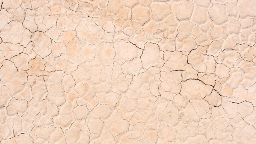
An Anomalous April Was Hot and Dry with Deepening Drought – Image for illustrative purposes only (Image credits: Unsplash)
North Carolina – Extreme heat and negligible rainfall marked April 2026 as one of the state’s most anomalous months on record, accelerating drought conditions across nearly the entire region. Statewide temperatures averaged 63.6°F, securing the second-warmest April since 1895, while precipitation totaled just 1.31 inches, the fifth-driest in 132 years. These conditions have triggered widespread impacts, from depleted reservoirs prompting water restrictions to strained agriculture and elevated fire risks, underscoring the urgency for relief as spring planting progresses.
Temperatures Soar to Unprecedented Levels
Long periods of summer-like warmth dominated the month, pushing temperatures far beyond seasonal norms. High pressure systems lingered offshore, mimicking summertime patterns and delivering multiple 80-degree days early in April. By mid-month, readings climbed into the 90s, with Asheville recording its first-ever 90°F day on April 15 and stations in the Sandhills hitting 94°F later that week.
Several locations shattered or tied historical benchmarks. Hickory and Lincolnton logged their warmest Aprils since the mid-20th century, while Greensboro matched its 2017 record. Charlotte ranked second-warmest, Asheville and Raleigh third, and Fayetteville and Hatteras fifth on their respective lists. Raleigh alone saw 12 days at or above 85°F, eclipsing the previous April mark, as Charlotte set a new record with 10 such days.
A brief cold front on April 8 offered fleeting relief, dropping lows below freezing in the Piedmont the next morning. Raleigh’s 32°F marked its latest spring freeze in five years. However, warmth quickly resurfaced, compounding the month’s overall heat anomaly following the state’s fourth-warmest March.
Rainfall Falls Far Short Statewide
Dryness prevailed across North Carolina, with most areas receiving less than an inch of rain. The Piedmont bore the brunt, as Greensboro tallied 0.58 inches, Raleigh 0.82 inches, and Charlotte 0.83 inches – each ranking among their driest Aprils on record. Wilmington managed 0.94 inches, its 20th-driest, while coastal spots saw marginal gains from late-month showers.
Partner offer
Prolonged dry spells exacerbated the deficit. Charlotte, Raleigh, and Wilson endured 19 consecutive days without measurable rain from April 6 to 24, Raleigh’s longest springtime streak since 2010. Much of the Piedmont has now passed 48 days without a half-inch event, sustaining the statewide burn ban. Western regions fared slightly better with late rain, but Asheville still recorded 1.87 inches – less than half normal – and ranked 29th-driest.
Drought Coverage Reaches Critical Thresholds
By month’s end, drought conditions deteriorated sharply. Nearly 54% of the state fell into Extreme Drought (D3) or worse, and over 95% into Severe Drought (D2) – the highest extents since 2008. A pocket of Exceptional Drought (D4) developed in the southern Piedmont, the dryness epicenter.
These shifts reflected persistent deficits since mid-March. Monroe, for instance, received only 1.34 inches since March 1, its driest spring start in 130 years. The U.S. Drought Monitor illustrated the progression from March 31 to April 28, highlighting the rapid intensification.
- Nearly all of North Carolina faces at least Severe Drought, limiting water supplies and raising fire dangers.
- 64% of pastures rate poor or very poor, pressuring livestock producers eligible for federal forage aid.
- Planting proceeds at normal pace, but germination hinges on imminent rain.
Widespread Impacts Emerge Across Sectors
Water resources have suffered notably. Groundwater levels, already lagging since last fall, plunged further in April, as seen at the Grantham well in Wayne County. Reservoirs like Lake Norman dropped over three feet below target in the Catawba-Wateree basin, activating Stage 2 low-inflow protocols and mandating Charlotte water restrictions starting May 15.
Agriculture faces mounting challenges. Fall crops deteriorated from prior dryness, winter rains failed to replenish hayfields, and current deficits threaten emerging plantings of corn, soybeans, and tobacco. Even the northeast, in Moderate Drought, contends with salinity intrusion; the Coastal Salinity Index hit exceptional levels on the Roanoke River, echoing 2002’s severe drought and driving marine life farther inland.
April’s extremes signal a protracted dry spell with no quick resolution in sight. As demands on water and soil intensify through the growing season, sustained precipitation will prove essential to mitigate long-term consequences for North Carolina’s communities and landscapes.
Partner offer
Planning a trip to Vegas?
Compare hotel rates and show tickets on VEGAS.com.