

Most people connect earthquake risk with California. Nevada rarely comes to mind. Yet the state sits on some of the most restless geology in the entire country, and the scale of that activity tends to surprise even long-time residents. Nevada is actually the third most seismically active state in the United States, after California and Alaska. While most earthquakes are small and go unnoticed, the state experiences frequent temblors, including larger ones that can cause damage. Over the last 150 years, Nevada has ranked third in the nation for the number of large earthquakes. Since the 1850s, 63 earthquakes with potentially destructive magnitudes of 5.5 or greater have occurred across the state.
Nevada’s Geological Foundation: Why the Ground Never Truly Sits Still
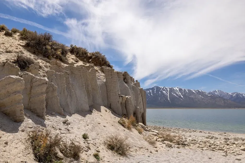
Nevada’s seismic character isn’t an accident of bad luck. It’s the direct product of how the land was formed and how it continues to move. Over millions of years, the Earth’s crust here has been stretched and thinned, creating a series of north-south trending mountain ranges separated by valleys. This ongoing extension doesn’t happen smoothly – it happens in jerks and jolts.
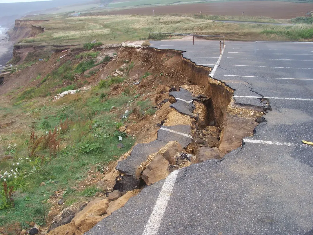
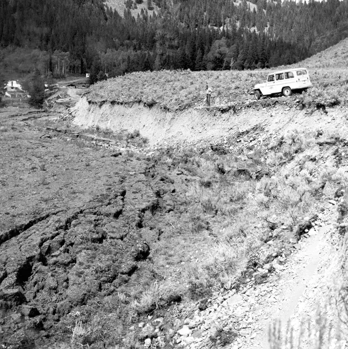
This process creates hundreds of normal faults, which are vertical fractures where rock blocks drop down. Unlike California’s San Andreas, which moves horizontally, Nevada faults move up and down, creating the basin-and-range topography that defines the state’s dramatic landscape. That vertical motion is actually one reason Nevada earthquakes can feel so abrupt and jolting compared to the rolling waves familiar to Californians.
The two main types of faults in Nevada are normal faults and strike-slip faults, each contributing to the state’s unique seismic character. Normal faults occur when the Earth’s crust is stretched, causing one block of land to drop down relative to another. This vertical displacement is what creates the mountains and valleys. Each time a normal fault ruptures, it causes an earthquake, contributing to the ongoing shaping of the landscape.
The Walker Lane: Nevada’s Hidden Tectonic Powerhouse
The answer to much of Nevada’s seismic activity lies in Walker Lane, a region of seismically active fault lines hugging the border between California and Nevada. Spanning 620 miles from the Mojave Desert to Northern California and about 60 miles wide, the region is home to hundreds of faults responsible for a great deal of earthquake activity in the Southwest.
The Walker Lane takes up 15 to 25 percent of the boundary motion between the Pacific plate and the North American plate, the other 75 percent being taken up by the San Andreas Fault system to the west. The Walker Lane may represent an incipient major transform fault zone which could one day replace the San Andreas as the plate boundary. That’s a staggering geological implication for a fault system that most Americans have never heard of.
Faults in the Walker Lane have recurrence intervals of hundreds to thousands of years. When averaging across all of the faults in Walker Lane, a major earthquake above magnitude 6.0 can be expected in the zone about once every 20 or 30 years. Fault lines don’t care about human schedules or predictions, though; one could go 100 years without a major earthquake or unleash several over a period of months.
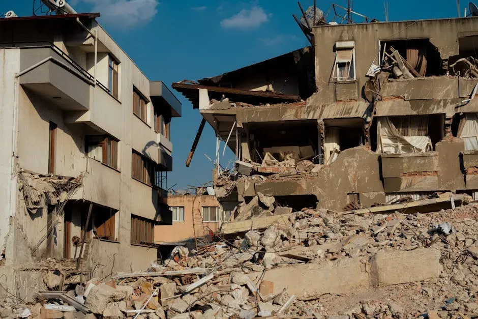
The 1915 Pleasant Valley Earthquake: Nevada’s Most Powerful Recorded Event
The 1915 Pleasant Valley earthquake had a magnitude of 7.3 and was felt throughout Nevada. It ruptured the ground about 50 miles south of Winnemucca and left a scar along the range front that was more than 35 miles long. In places, the ground surface was offset vertically by as much as 19 feet. For context, that kind of displacement is roughly the height of a two-story building.
The 1915 Pleasant Valley earthquake was preceded by a rare, highly energetic foreshock sequence that forecasted the ensuing large earthquake. When the foreshocks began is not exactly known, as there were no recording instruments in the area. The first earthquake of note was a magnitude 5 at 3:40 p.m. on October 2nd. The mainshock finally struck at 10:54 p.m., and shaking lasted for 40 to 55 seconds over a large area of northern Nevada.
The earthquake remains one of the best examples ever for evidence of creating fault scarps along the west side of the Tobin Range. It produced four scarps with a total length of 59 kilometers. Researchers also found evidence for paleo-earthquakes, ancient earthquakes thousands of years old, of similar size in older fault structures along the same rupture zone. The past, it turns out, keeps signaling what the future might hold.
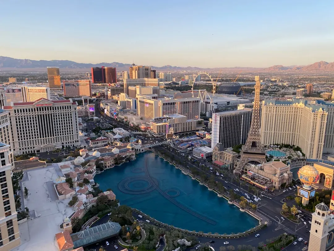
The Reno-Carson City Corridor: One of the Riskiest Urban Zones in the West
Western Nevada has the highest earthquake hazard in the state. The area has the largest earthquake faults, some of the highest levels of recorded earthquake activity, and the highest slip rates and geodetically measured deformation in the state, all indicating extreme earthquake hazard.
The chance of having a damaging magnitude 6 earthquake within 30 miles of any location in the Reno-Carson City-Tahoe urban corridor over the next 50 years ranges between 60 and 75 percent. This high likelihood of an event is not surprising because earthquake damage in the urban corridor has occurred over 10 times since the 1850s. That’s not a warning about a distant future. That’s a statement about a pattern already well underway.
The crustal extension in this region creates normal faults such as the Genoa fault, which bounds Carson Valley, the Mt. Rose fault, which bounds Reno, and the basin-bounding faults in the Tahoe basin, including the West Tahoe-Dollar Point fault. Reno also sits in a basin that amplifies seismic waves, a geological effect sometimes compared to a bowl of gelatin that intensifies shaking across the city.
The Genoa Fault: Carson City’s Quiet but Serious Threat

The Genoa fault threatens Carson City, Lake Tahoe communities, and the Reno-Sparks metro with potential magnitude 7-plus earthquakes spanning 50 to 60 kilometers. The Genoa fault zone is a classic range-bounding normal fault that has a vertical slip rate of around one millimeter per year. Earthquakes as large as magnitude 7.4 can occur along this fault zone.
For the Genoa fault zone, the estimated recurrence interval works out to be an earthquake about once every 3,000 years. The northern part of the Genoa fault zone is just to the west of Carson City. The most recent earthquake along the Genoa Fault near Carson City occurred about 450 years ago. That means the clock has been ticking for centuries with no major release, which is exactly what geologists watch carefully.
A Carson City property just two miles from the Genoa fault’s trace faces vastly different insurance costs and risk exposure than a Henderson home 15 miles from any major fault. Nevada Division of Insurance data shows properties within 10 miles of the Genoa fault in Carson City, Minden, or Gardnerville face three to four times higher claim frequency than those 25 or more miles from active faults.
The Pyramid Lake Fault and the North Valleys: Reno’s Largest Seismic Threat
The Pyramid Lake fault zone is thought to have an earthquake recurrence interval of around 1,700 years and may have been involved in a major earthquake around 1845 or 1852. Earthquakes as large as magnitude 7 to 7.5 may be associated with these larger, lateral fault systems.
Studies have identified seven main fault zones that define the North Valleys area, including from west to east, the Last Chance, Petersen Mountain, Lemmon Valley, Fred’s Mountain, Hungry Valley, Spanish Springs Valley, and Spanish Springs Peak fault zones. Using lidar images, aerial photographs, and satellite imagery, research finds that the faults of the North Valleys are capable seismic sources. These faults act to transfer slip from the Sierra Nevada range front to the northeastern Walker Lane.
North Reno properties face some of the highest earthquake insurance premiums statewide, reaching up to $2,000 to $2,800 per year for $400,000 homes, due to the Pyramid Lake fault’s magnitude 7-plus potential. The Nevada Seismological Laboratory identifies this as Reno’s largest seismic threat. Recent and ongoing fault investigations include studies of the Frenchman Mountain and Eglington faults in Las Vegas Valley, the Kings Canyon fault zone in Carson City, and the Freds Mountain, Warm Springs Valley, and Lemmon Valley faults in the North Valleys of Reno.
Las Vegas: Lower Risk, But Not Risk-Free
Las Vegas is less prone than western Nevada near the Sierra Nevada mountains, which is considered a high-hazard area due to the highest earthquake activity and slip rates. The Eglington Fault runs through northeast Las Vegas, with the Frenchman Mountain Fault nearby. Many high-rise casinos and hotels remain vulnerable, and soft basin soils amplify shaking throughout the valley.
The Eglington Fault runs through the city, and several magnitude 7-plus capable faults are within 20 miles. Nevada is the third most seismically active state. A magnitude 7-plus earthquake in Las Vegas would cause catastrophic damage to high-rises, casinos, and infrastructure. The Nevada Bureau of Mines and Geology is the lead agency in a comprehensive earthquake source investigation being conducted in Las Vegas Valley. Studying these poorly understood faults in a highly urbanized setting is challenging, and NBMG has assembled an expert team of scientists from NBMG, UNLV, and the USGS to tackle it. The results of this study will give needed insight into the seismic potential of faults in the valley and provide hazard assessments needed for development and building construction.
The 2020 Monte Cristo Earthquake and the Danger of Sleeping Faults
The May 15, 2020 magnitude 6.5 Monte Cristo Range earthquake was the largest earthquake in Nevada in over 66 years and occurred in a sparsely populated area of western Nevada about 74 kilometers southeast of the town of Hawthorne. The earthquake produced surface rupture distributed across a 28-kilometer-long zone along the eastward projection of the Candelaria fault in the Mina deflection of the central Walker Lane.
In the aftermath, the Monte Cristo earthquake fault remained active with over 6,500 aftershocks recorded by the Nevada Seismological Laboratory. Unlike California’s headline-grabbing faults, the Silver State harbors many unmapped or dormant fault lines that build stress over decades before producing sudden movement. The long silences between major events are not reassuring. They’re simply part of the cycle.
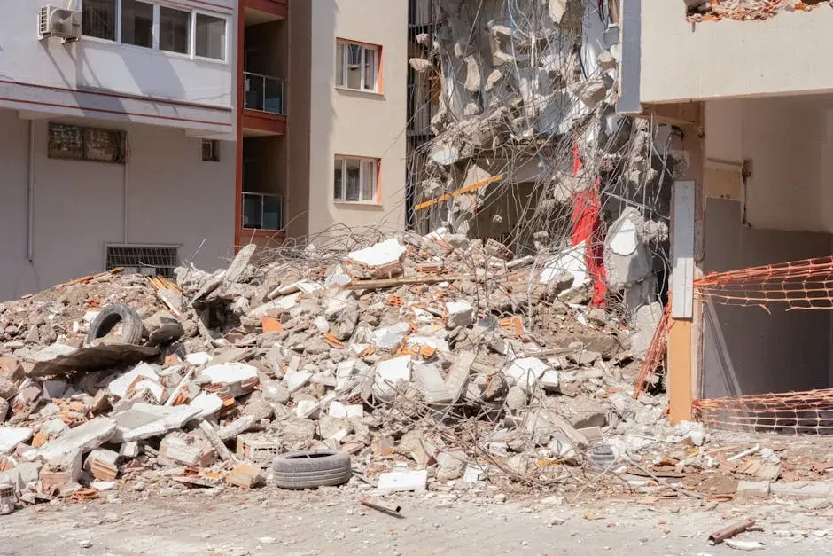
FEMA indicates that on average, Nevada experiences a magnitude 6 or higher earthquake about once every 10 years and a magnitude 7 or higher about once every 27 years. The public tends to view moderate magnitude 5 to 6 events as “the big ones,” when in reality, were the inevitable magnitude 7 event to occur in one of the rapidly developing communities of the region, the losses to life and property would be devastating.
Urban Growth, Early Warning Systems, and What Comes Next

The seismic hazard of the Reno-Carson City urban corridor is clearly great, and a return of the level of earthquake activity that occurred in the corridor in the latter half of the 19th century is a definite possibility. Because such earthquake activity would cause far more damage today due to the vastly greater population and number of man-made structures, it would be prudent to be prepared.
A federal spending bill includes $34.85 million for continued expansion of the ShakeAlert earthquake early warning system, including into Nevada. Nevada experts will work with the USGS to design a warning system tailored to the state. ShakeAlert detects earthquakes by sensing fast-moving seismic waves near the source of a quake. Computer algorithms analyze signals from multiple seismic stations to confirm an earthquake and trigger public alerts.
Nevada is at risk from earthquakes, flooding, landslides, and other hazards. Nevada Bureau of Mines and Geology scientists study these hazards to reduce losses, enhance building codes, plan land usage, and educate Nevadans about preparedness. NBMG geoscientists conduct research along active earthquake faults to determine the size, timing, and recurrence of prehistoric earthquakes, essential information for better characterizing earthquake hazards across the state.
Nevada’s seismic story isn’t a dramatic, rare event waiting to unfold. It’s an ongoing, geological reality that predates every city, road, and building in the state. The faults were here long before the neighborhoods, and knowing which ones sit beneath your street is simply part of living in the Silver State with your eyes open.


